Top Things To Do in Pinnacles National Park
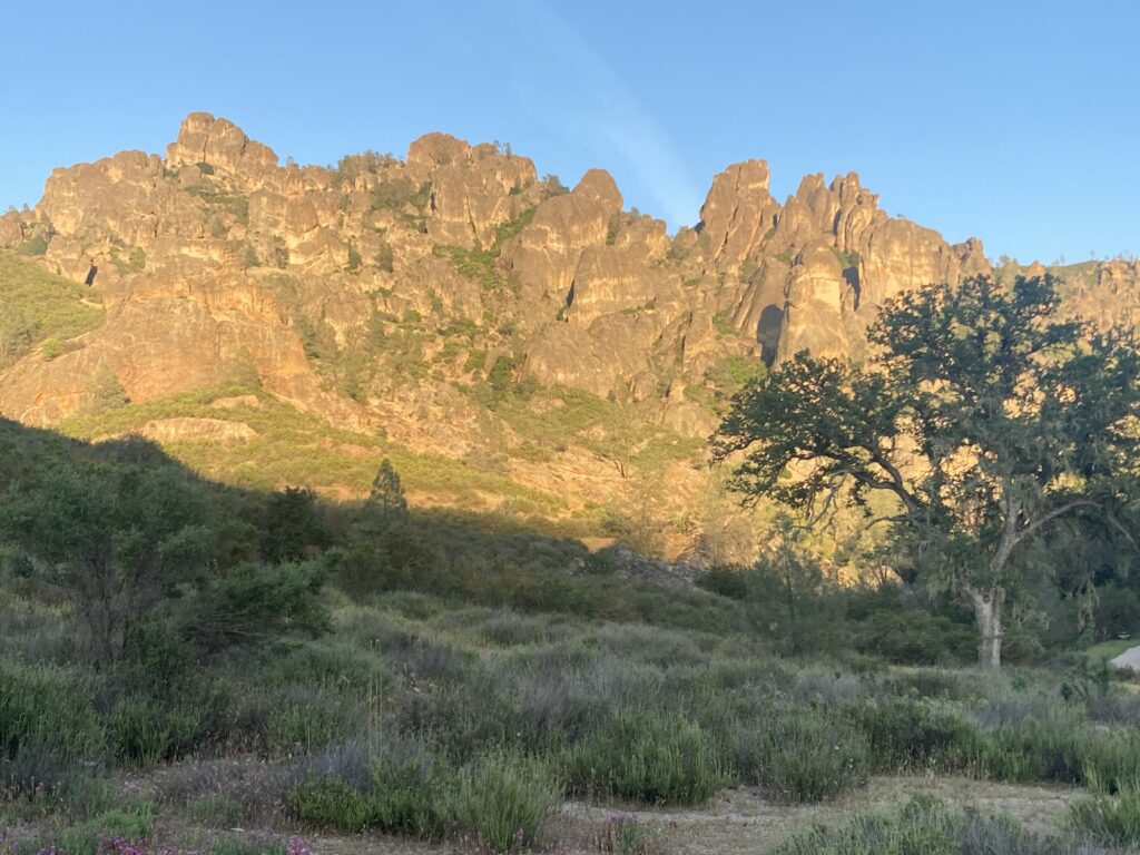
Pinnacles National Park protects pinnacle rock formations that were formed an astounding 23 million years ago! It also features talus caves (= caves formed by boulders), endangered California condors, and wildflowers. It is the smallest and youngest national park in California.
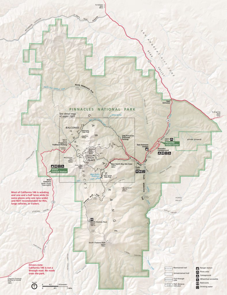
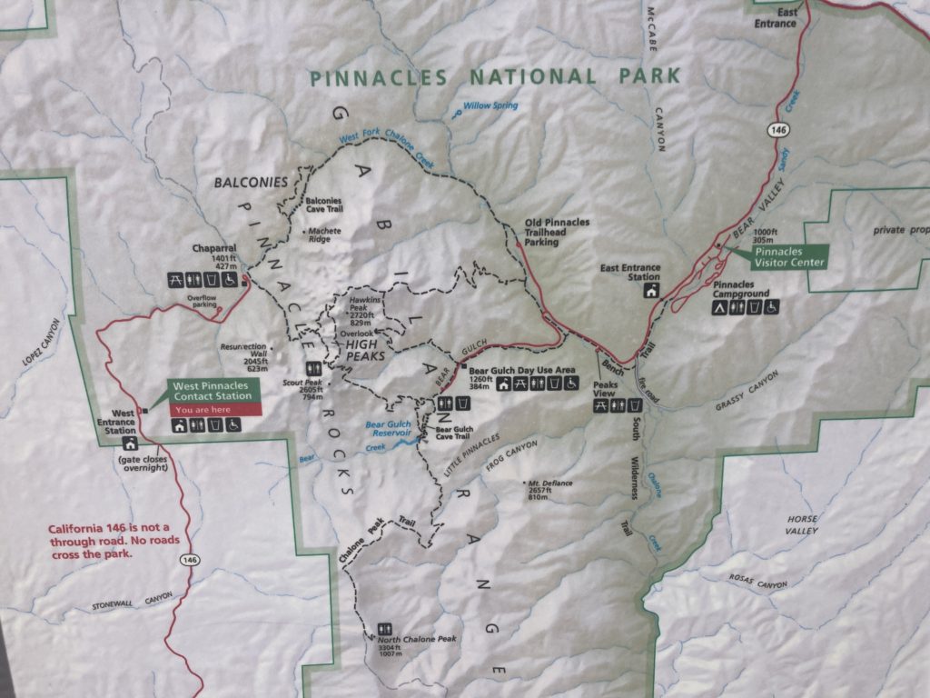
NOTE! Rock formations divide Pinnacles National Park into East and West sections. There is no road that connects them.
Key Takeaways
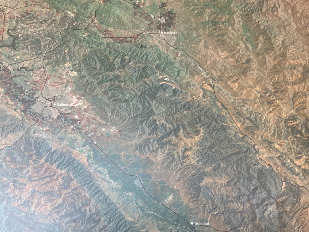
* Pinnacles National Park is divided into 2 separate sections – East and West. There is only one entrance for each section. The East Entrance is located 30 miles south of Hollister. The West Entrance is located 12 miles east of Soledad. There is no road that connects them.
* To get from the East to the West Entrance (or vice versa), you have to exit the park and drive over an hour. You can take Hwy 101 or several side roads.
* Want to see the pinnacles but are not a good hiker? The Prewett Point Trail is an easy, no elevation gain .9 mile loop from the West Side Visitor Center that takes you directly across from the pinnacles. There are benches available. Or you can view the pinnacles from a distance from the Chaparral Parking Lot in the West section of the park.
Pinnacles is a U.S. National Park
Pinnacles National Park is 1 of the 63 U.S. National Parks. (A National Park is a scenic or historically important area protected by the federal government. Its purpose is the enjoyment of the general public or the preservation of land and wildlife).
President Theodore Roosevelt designated Pinnacles a National Monument in 1908. It became a National Park in 2013.
Pinnacles is both the youngest and smallest of the 9 U.S. National Parks in California. The others are Channel Islands, Death Valley, Joshua Tree, Kings Canyon, Lassen Volcanic, Redwood, Sequoia, and Yosemite.

How to Visit Pinnacles National Park
Pinnacles National Park is open 24 hours a day 365 days a year. No reservation is required for park entry. Passes can be purchased online or at the park entrance.
Admission is $30 for private vehicles, $25 for motorcycles, and $15 for individuals with no car. It is valid for 7 days. Or you can purchase the Pinnacles National Park Annual Pass for $55. For more information, call the Pinnacles Visitor Information Line at 831-389-4486.
If you plan to visit several national parks or sites, the best value is to purchase a U.S. Park Pass. It costs $80 and is valid for 12 months at over 2,000 federal recreation sites.
What is the closest Airport to Pinnacles National Park?
The closest major airport to Pinnacles National Park is the San Jose Mineta International Airport (SJC). It is 80 miles (or an hour and a half) away.
The next closest major airport is San Francisco International Airport SFO, which is 110 miles (or 2 hours) away.

Is there a Hotel inside Pinnacles National Park?
There are no hotels inside Pinnacles National Park. If you want to stay in the park, you have to stay at Pinnacles Campground on the east side.
If you prefer the luxury of a hotel, you need to stay in one of the cities surrounding the park such as Hollister or Soledad.

Pinnacles National Park Shuttle (East side only)
There is a free shuttle on the east side of Pinnacles National Park. It runs on Saturdays, Sundays, and Holidays from 8:00am – 5:00pm.
The Shuttle Route starts at the Pinnacles Campground overflow parking lot and goes to the Bear Gulch Day Use Area. It stops at the Old Pinnacles parking lot every other run.

What is a Pinnacle?
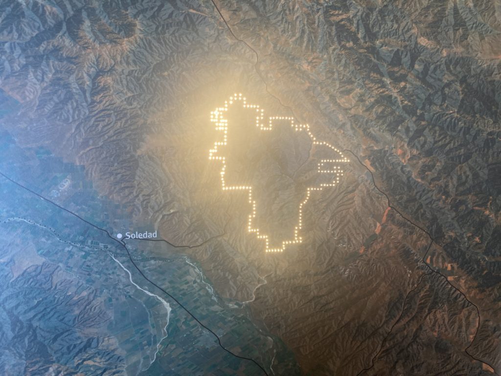
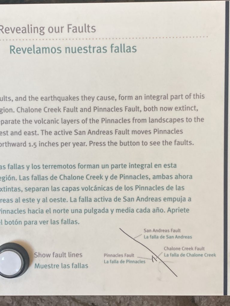
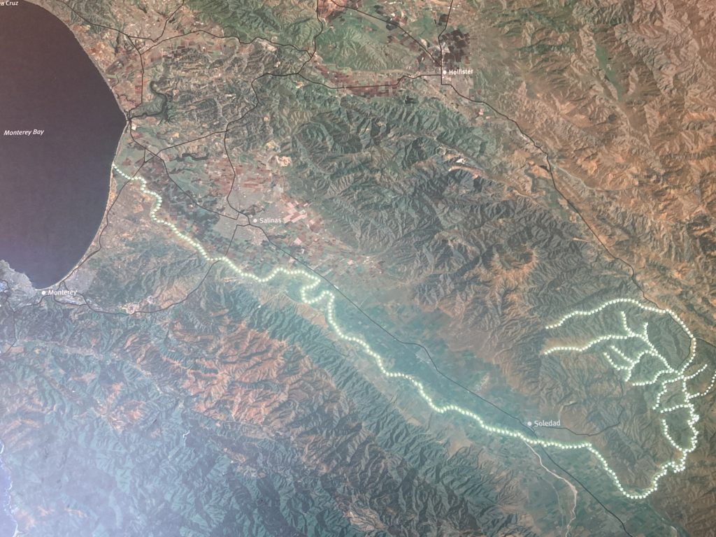
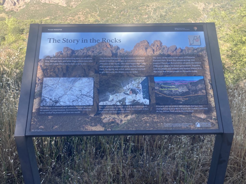
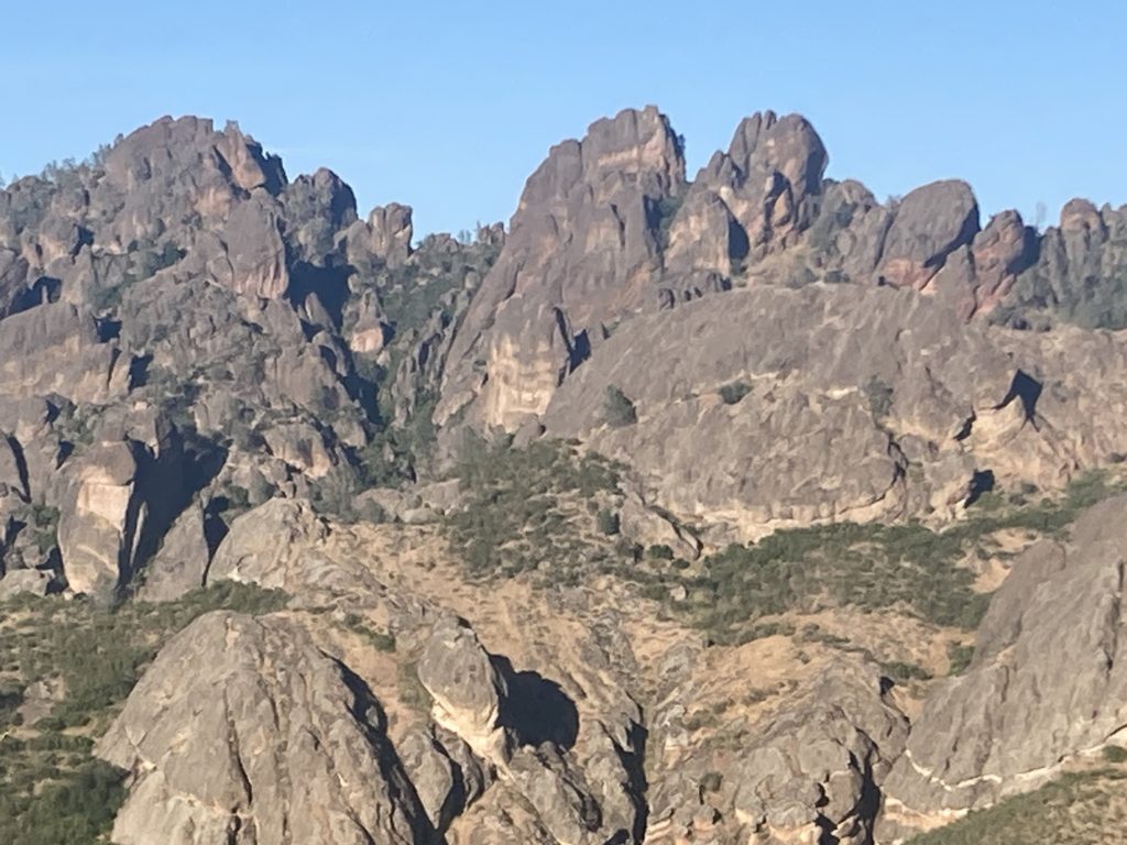
A Pinnacle is a column of rock that was formed an astonishing 23 million years ago! The powerful San Andreas Fault sliced the pinnacles from a volcano.
The entire earth is covered by plates. Think of it as an egg shell that has cracked in several places. There are 15 tectonic plates. The Pacific Plate is the largest; it moves 2 inches a year.
As the Pacific Plate crept north, it carried the Pinnacles with it. The volcano where the pinnacles came from is now 200 miles away in Lancaster!

Where is the Best Place to View the Pinnacles?
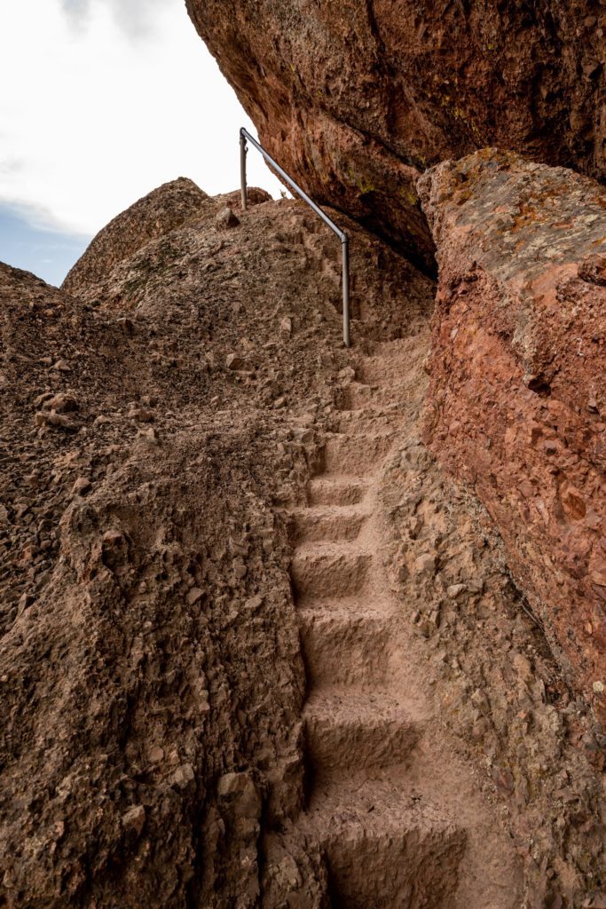
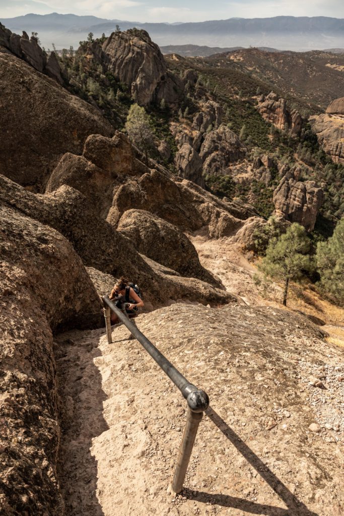
The best way to view the Pinnacles at Pinnacles National Park is to climb up and see them. The 9.3 mile High Peaks Trail loop takes hikers around and through the rock spires. And in several places hikers climb up stairs cut into the sides of the pinnacles themselves.
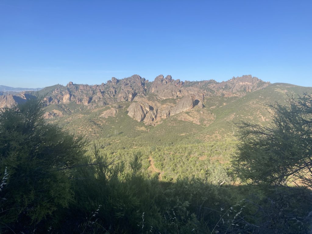
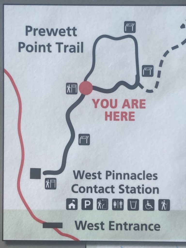
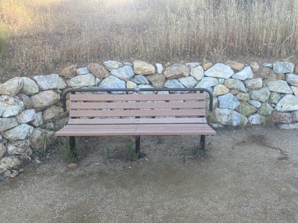
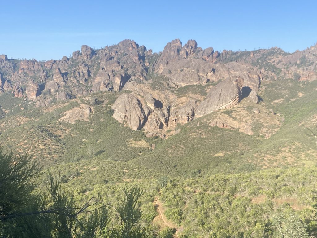
The next best way is to walk the .9 mile ound trip Prewett Point Trail. Enter the park through the West Entrance and park at the West Visitor Contact Station. The easy mostly flat hike takes you right across from the Pinnacles. There is even a bench to sit on while you gaze at them.
Lastly, you can view the Pinnacles from the Chaparral Parking Lot on the west side. Truthfully, the view is not that impressive from this angle.
Hain Wilderness
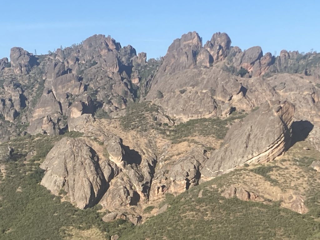
Nearly 2/3 of Pinnacles National Park is designated wilderness. The Wilderness Act of 1964 established over 800 federally designated wilderness areas. It is the highest level of conservation protection for federal land.
The Hain Wilderness was named in honor of Schuyler Hain, who is known as “the father of the Pinnacles.”

Hiking Trails in Pinnacles National Park
Pinnacles National Park has over 30 miles of Hiking Trails. They range from easy to strenuous. Many trails intersect, so you can plan a short loop or a longer all-day
Popular hiking trails include High Peaks, Bear Gulch Reservoir, Condor Gulch, Balconies, and Moses Spring.
Pinnacles National Park has 2 Entrances – East and West
There are two entrances to Pinnacles National Park.
To enter the East Entrance from the north, it is 30 miles south of the town of Hollister via Highway 25. To enter the East Entrance from the south, drive through King City on Bitter Water Road (G-13).
The West Entrance is located 12 miles east of the town of Soledad. From Highway 101, you must drive through Soledad to Highway 146 to the park entrance.

Pinnacles National Park – East Entrance
The East Entrance of Pinnacles National Park leads to the Pinnacles Visitor Center, the Pinnacles Campground, the Bear Gulch Cave, and more.
Trails on the east side of the park can be accessed 24/7. However, there is no overnight parking allowed outside of the Pinnacles Campground.
Pinnacles Visitor Center (East Entrance)
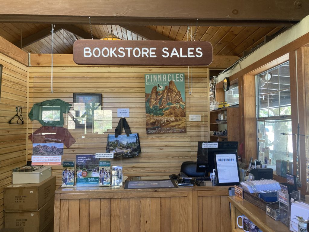
As soon as you enter the East Entrance, the first place you come across is the Pinnacles Visitor Center. As with every other national park, there are rangers onsite to answer questions.
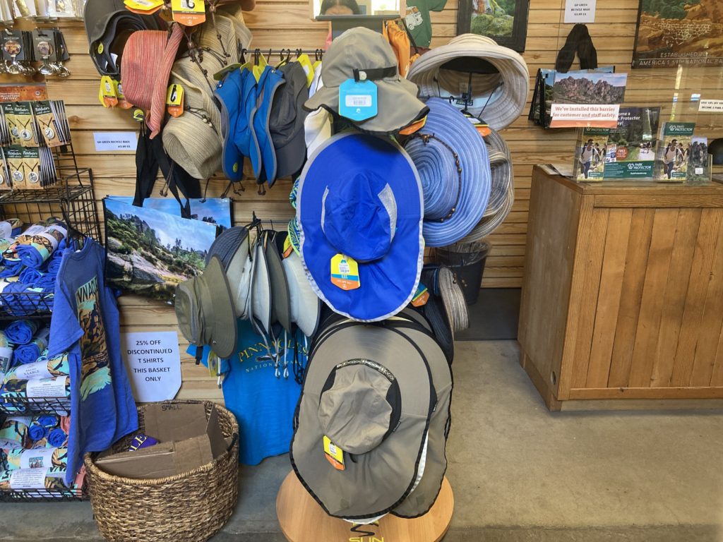
And there is a small bookstore that sells souvenirs such as T-shirts, hats, tote bags, magnets, patches, pins, and books. They also sell safety items such as water and flashlights.





Pinnacles Campground Store (East Entrance)
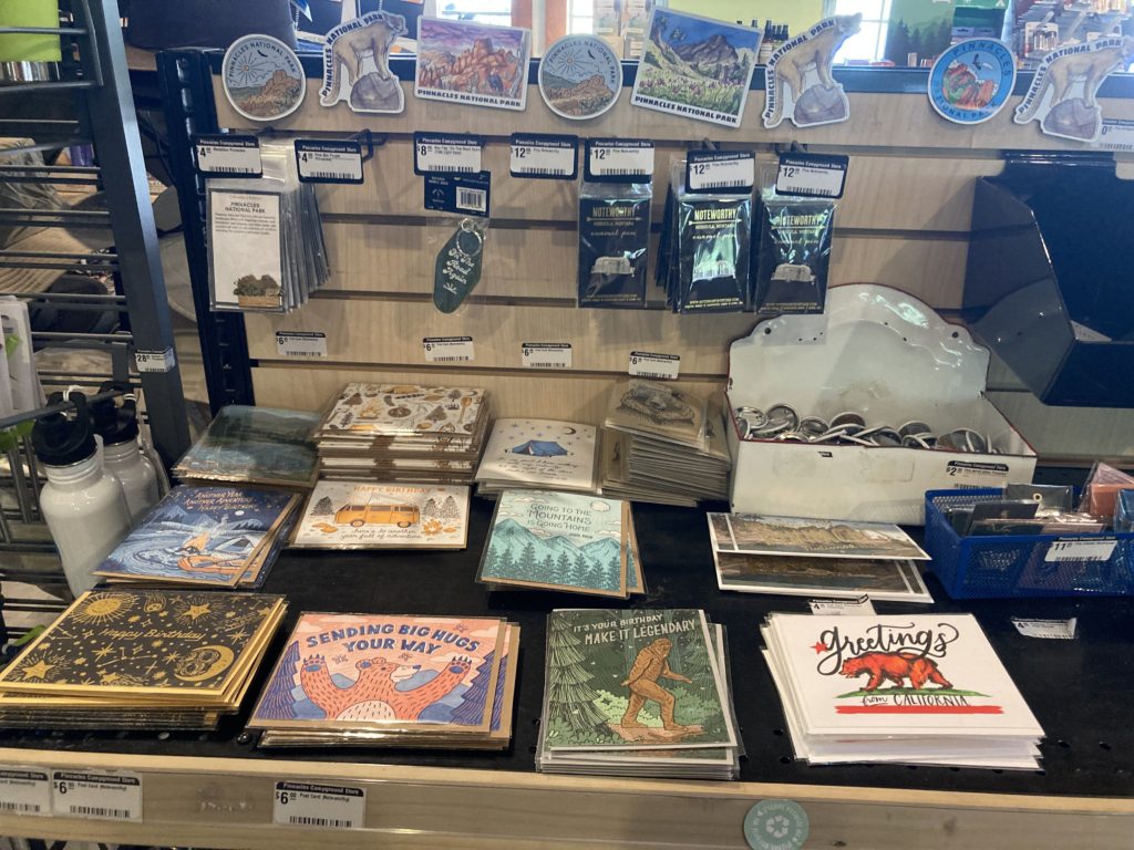
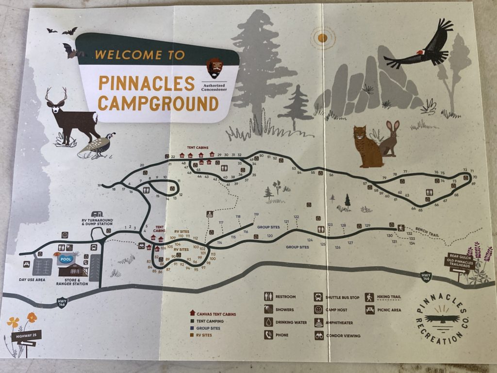
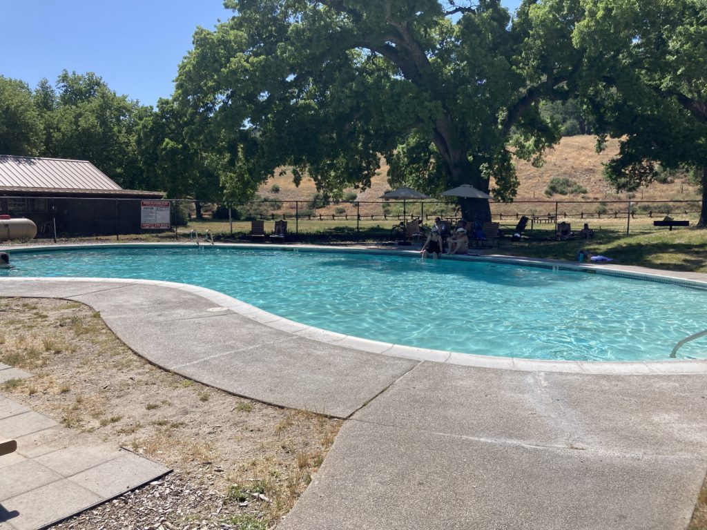
Next door to the Visitor Center is the Pinnacles Campground Store. It sells food, drinks, and ice. It is mostly used by the nearby campers. There is a bathroom and the campsite swimming pool
The Pinnacles Campground Store is open Daily from 9:30am – 5:00pm. Their phone # is 831-200-1722.






Pinnacles Campground (East Entrance)
The only lodging inside Pinnacles National Park is the Pinnacles Campground. It is located on the east side of the park, which means that it can only be reached by the East Entrance. Camping is prohibited in the west side of the park.
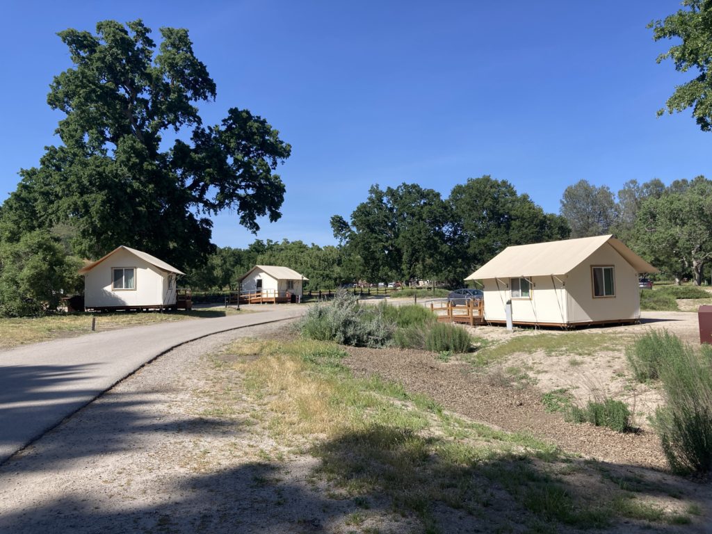
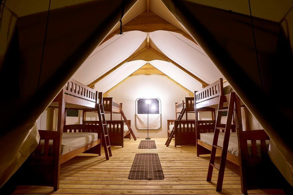
Pinnacles Campground is open year round and has tent sites, RV sites, and tent cabins. Each site comes with a picnic table and fire ring. There is a restroom, coin-operated showers, and a seasonal swimming pool. Pets are allowed. However, they must be on a leash, cannot be left unattended, and are not allowed on the trails.
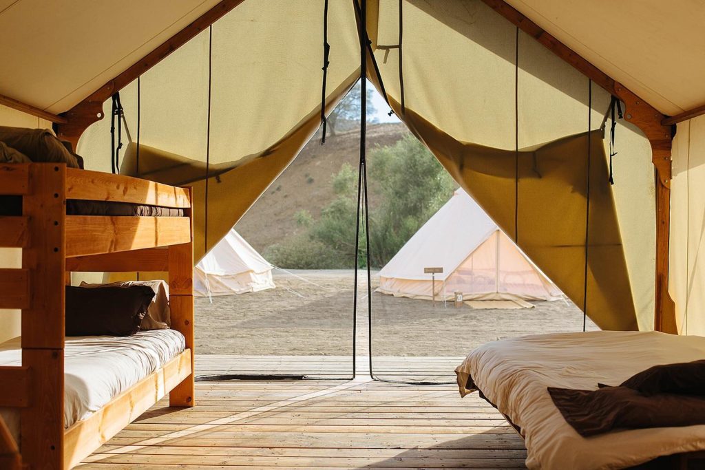
For those who don’t own a tent (or don’t want to sleep on the ground), there are tent cabins available to rent. Open year-round, the canvas sided cabins can sleep up to 4 people.
To make a reservation at Pinnacles Campground, go to www.recreation.gov or call 831-200-1722.

Hiking Trails from Pinnacles Campground/ Visitor Center
- 1860 Bacon Homestead
- Bear Gulch Day Use Area
- South Wilderness Trail
- Balconies Cave

Pinnacles Campground/Visitor Center to 1860 Bacon Homestead
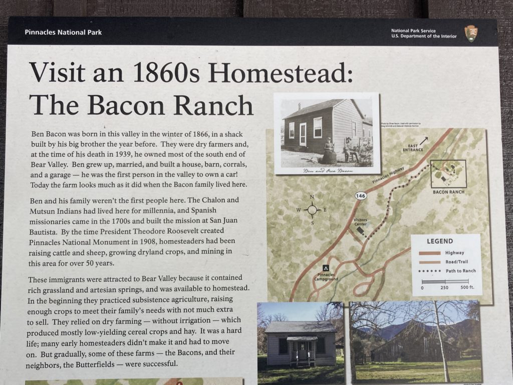
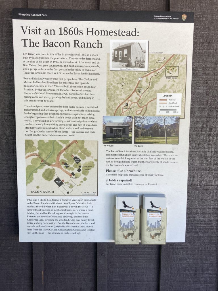
The trailhead to the 1860 Bacon Homestead is located behind the Pinnacles Visitor Center parking lot. It is a 2.7 miles round trip hike.
You will pass fields that look like they did when Ben Bacon was a boy in the 1870s. The house, corral, and barn, still look the same. (Ben Bacon was the first person in the valley to own a car. Check out his garage!)
Bacon and his family were dry farmers, which means that they farmed without irrigation. They produced mostly low yielding cereal, crops, and hay. At that time, farms did not have tractors or mechanical harvesters. Instead, a handheld scythe and backbreaking work brought in the harvest.


Pinnacles Campground/Visitor Center to Bear Gulch Day Use Area
- 2.3 miles one way, 1-1 ½ hours
- Elevation: 300 feet
- Moderate
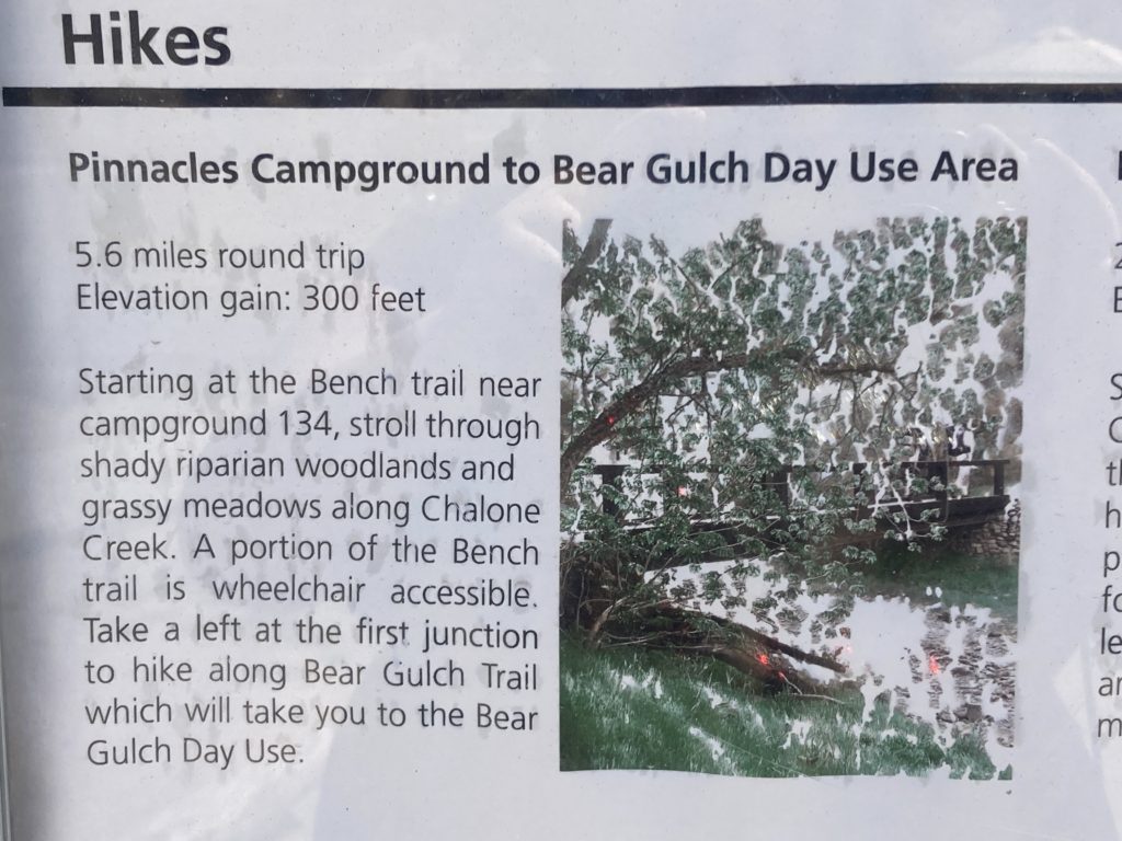
Walk along Chalone and Bear Creeks from the Pinnacles Visitor Center to the Bear Gulch Day Use Area. A section of the Bench Trail between Peaks View and South Wilderness Trail may be accessible to visitors in wheelchairs.
Pinnacles Campground/Visitor Center to South Wilderness Trail
- 6.5 miles round trip, 3-4 hours
- Elevation: No gain
- Moderate
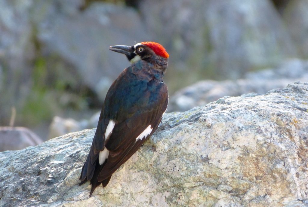
Follow this unmaintained trail to the park boundary, or simply meander through the magnificent grove of valley oaks. Begin at Pinnacles Campground and follow the Bench Trail to the South Wilderness marker. This trail is an excellent choice for bird and other wildlife viewing.
Pinnacles Campground/Visitor Center to Balconies Cave
- 9.4 miles round trip, 4-6 hours
- Elevation: 300 feet
- Moderate
Hike along sunny Chalone Creek on the Bench and Old Pinnacles trails to Balconies Cave. On the return trip, cross over the cave via the Balconies Cliffs trail for views of the largest rock formations in the park. Flashlight required in the cave.

Peaks View Parking Area
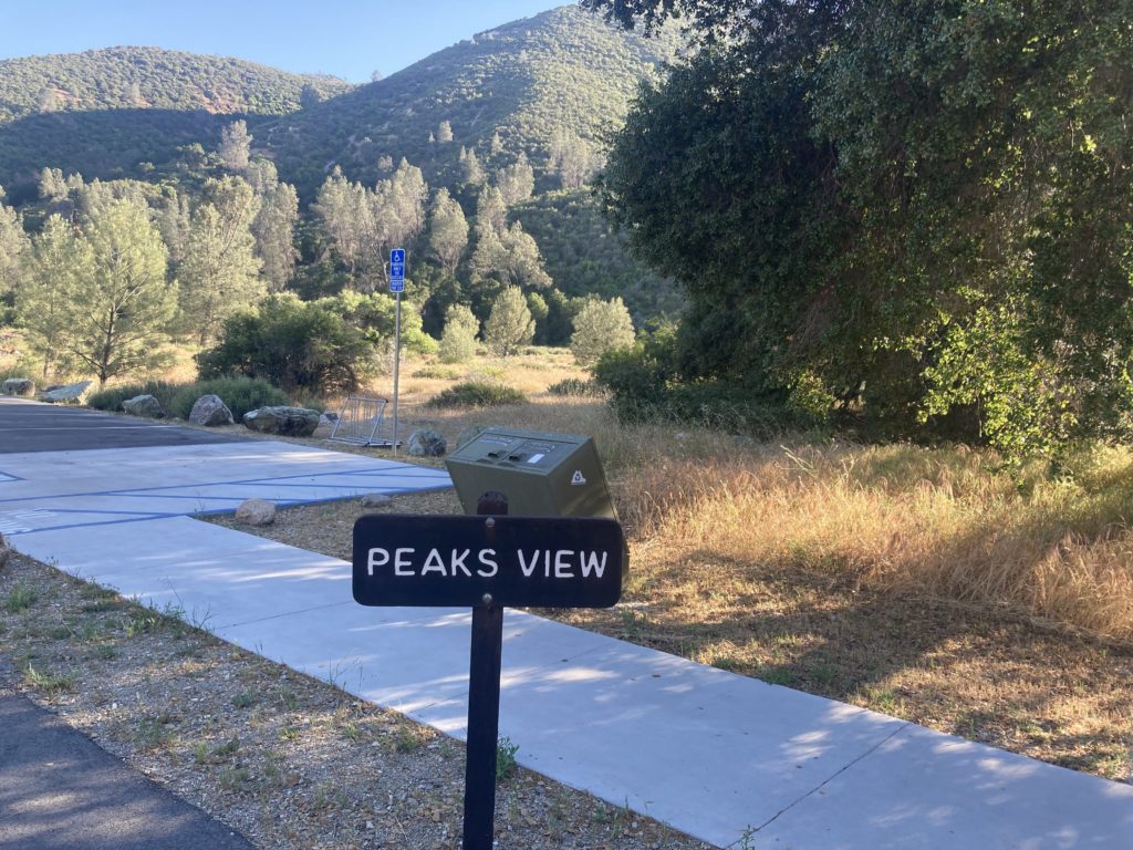
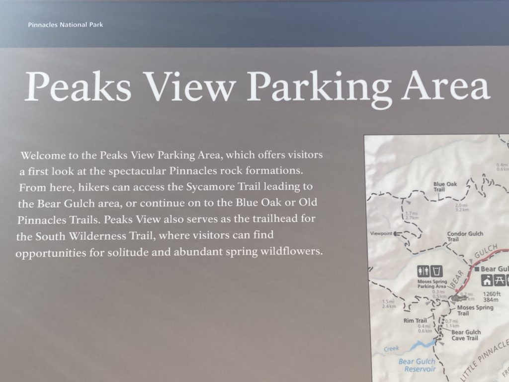
The first stop after the Pinnacles Visitor Center and Campgrounds is the Peaks View Parking Area, It is the first place that visitors can get a look at the spectacular Pinnacles rock formations.
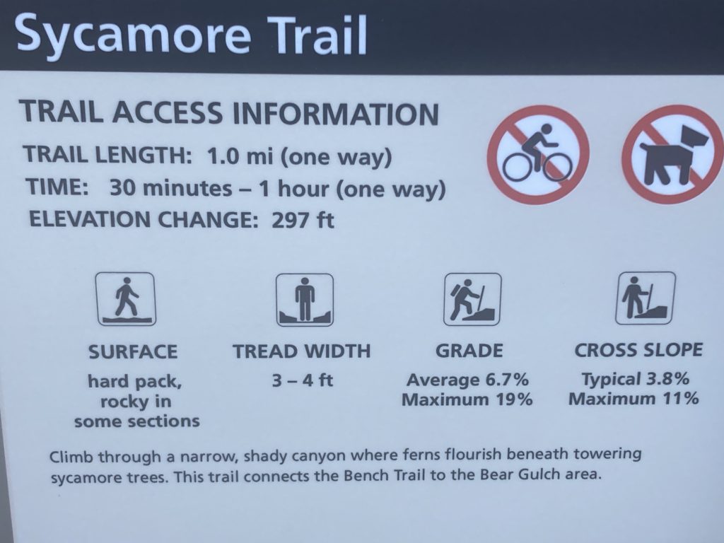
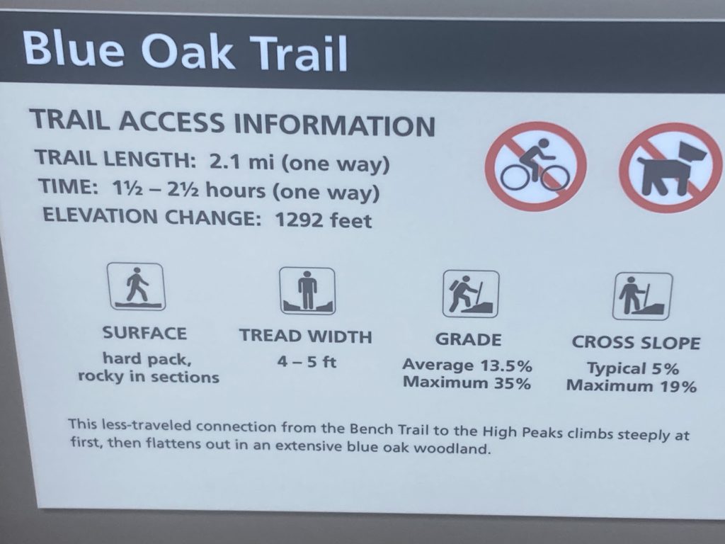
From here, hikers can access the Sycamore Trail leading to the Bear Gulch area. Or they can continue on to the Blue Oak Tral or the Old Pinnacles Trail.
Peak View also serves as a trail head for the South Wilderness Trail, where visitors can find both solitude and abundant spring wildflowers.



Manzanita Parking Area
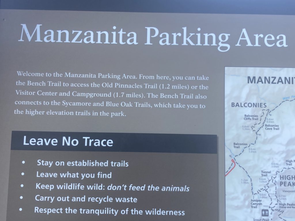
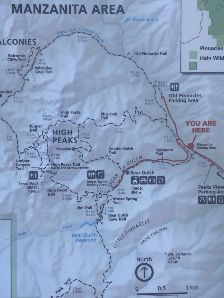
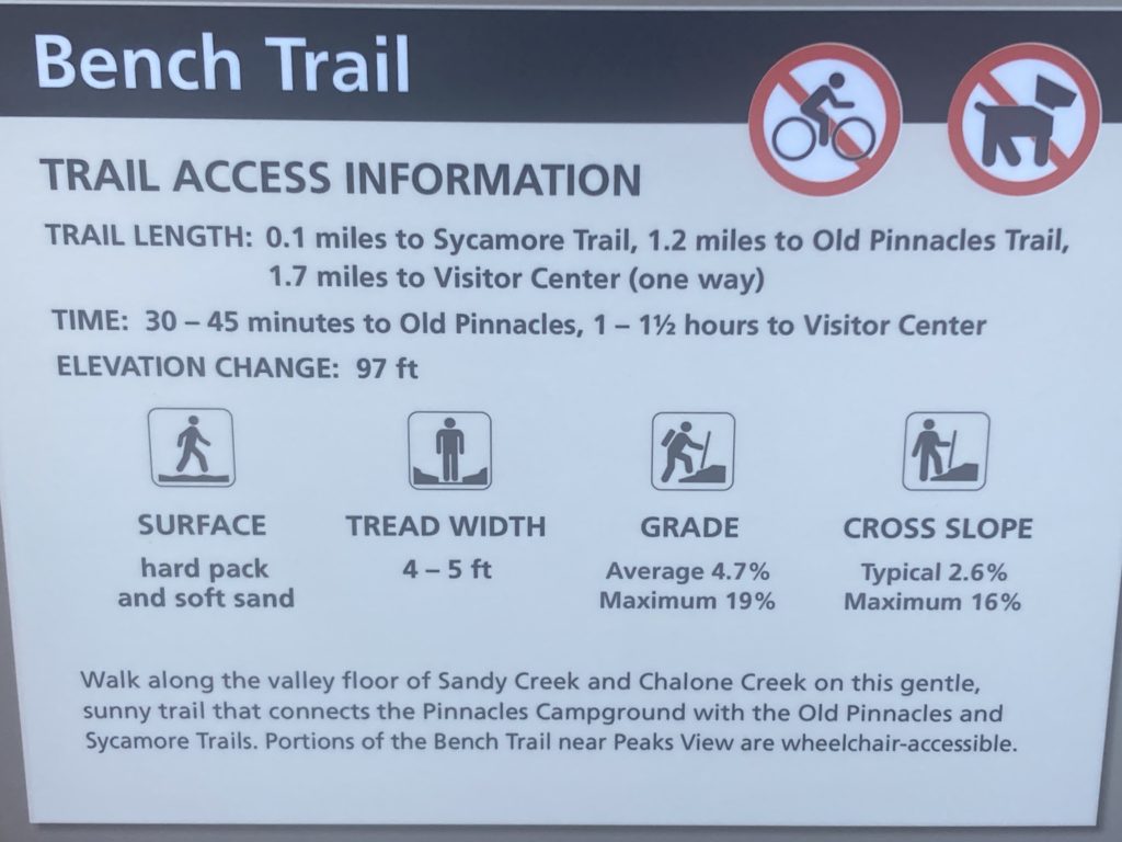
Next on the scenic route is the Manzanita Parking Area. From there, hikers can take the Bench Trail for 1.2 miles to the Old Pinnacles Trail. Or they can walk 1.7 miles to the Pinnacles Visitor Center and Campground.
The Bench Trail also connects to both the Sycamore and Blue Oak Trails, which take you to the higher elevation trails in the park.

Old Pinnacles Trailhead
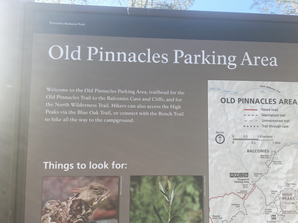
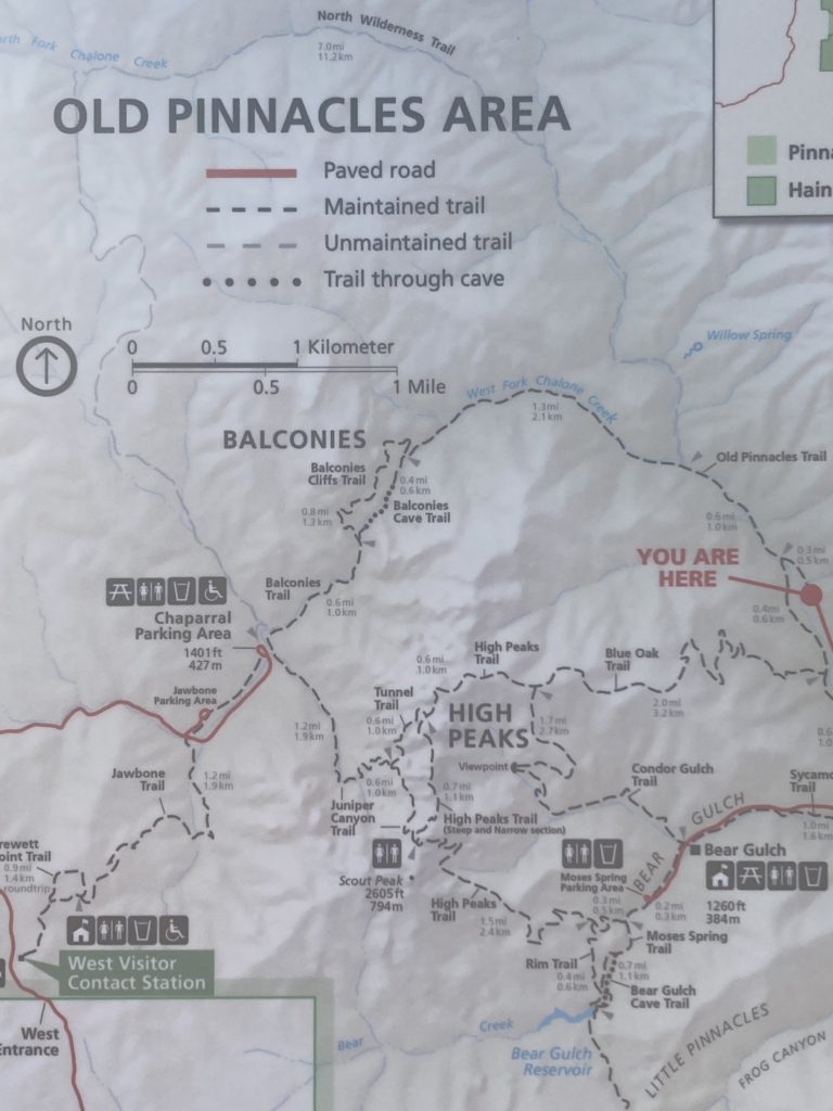
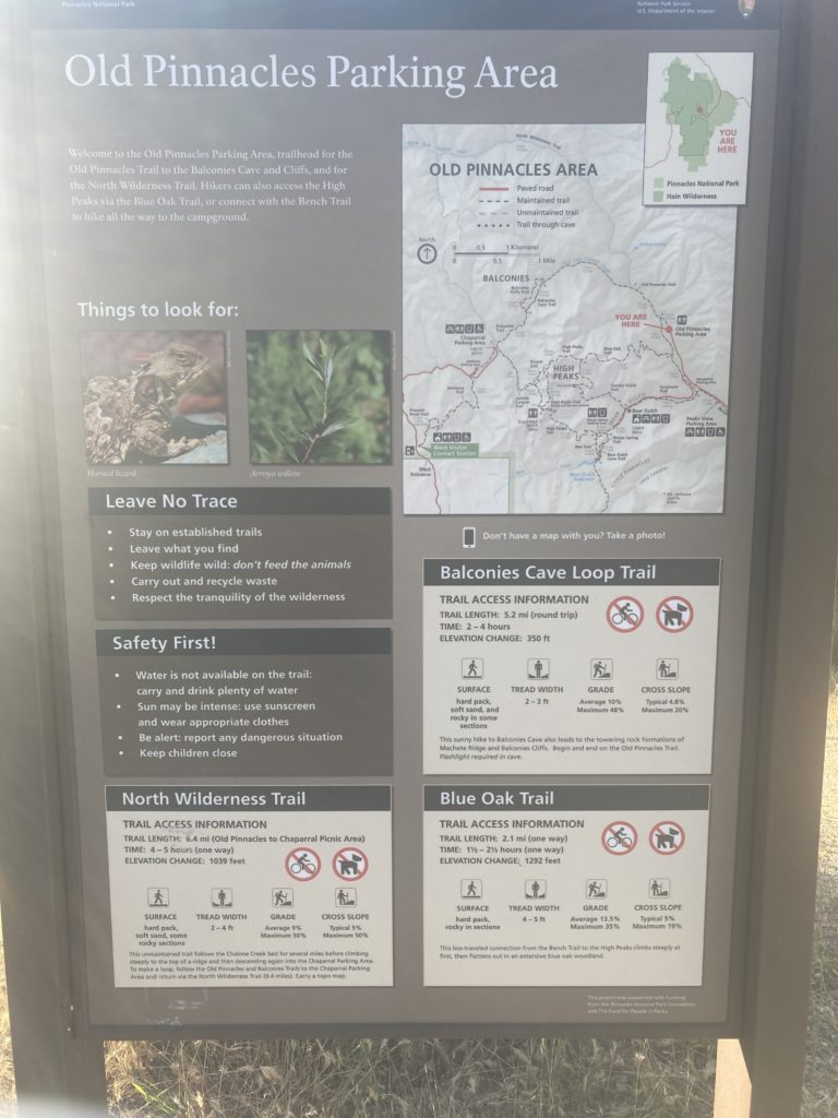
The Old Pinnacles Parking Area is the location of the Old Pinnacles trail head to both the Balconies Cave and Cliffs, and the North Wilderness Trail.
Hikers can also access the High Peaks via the Blue Oak Trail. Or they can connect with the Bench Trail to hike all the way to Pinnacles Campground.
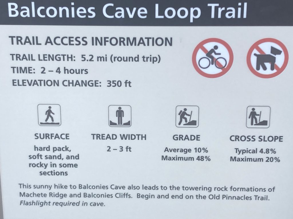


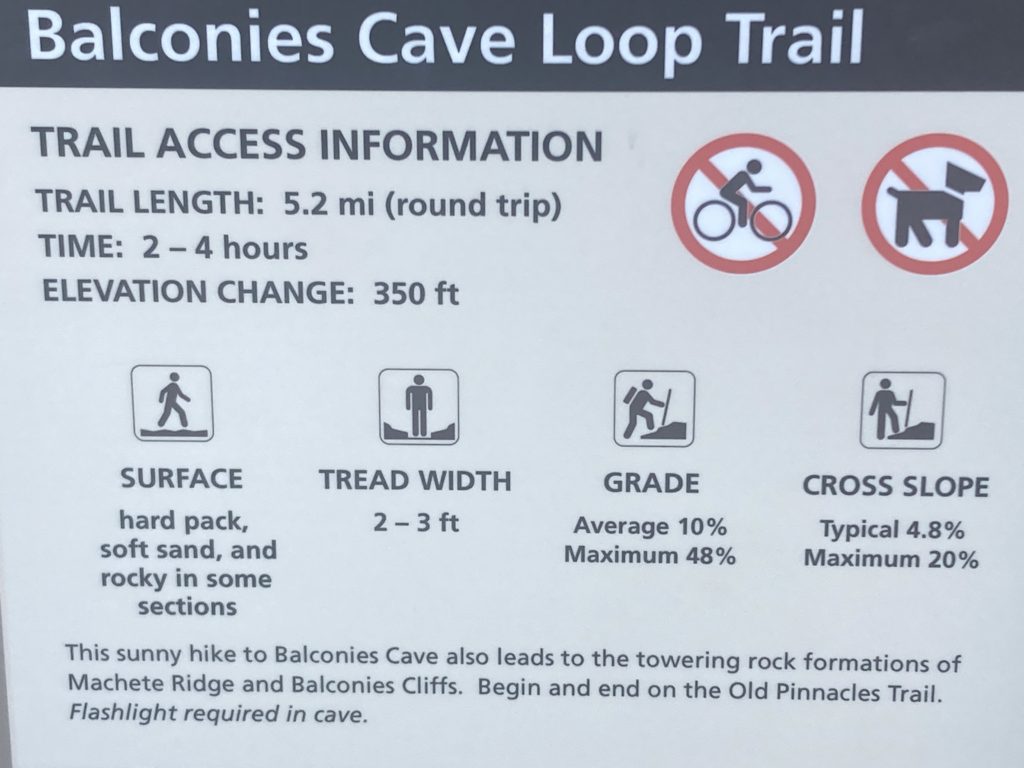
Old Pinnacles Trailhead to Balconies Cave
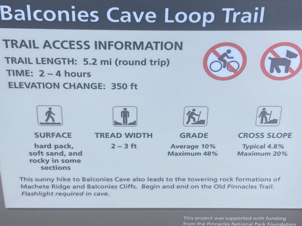
- 5.3 miles round trip, 3-5 hours
- Elevation: None
- Moderate
- This sunny hike to Balconies Cave also leads to towering rock formations: Machete Ridge and the Balconies Cliffs. Begin at the Old Pinnacles Trailhead. Flashlight required in the cave.
Bear Gulch Day Use Area
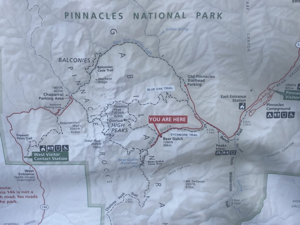
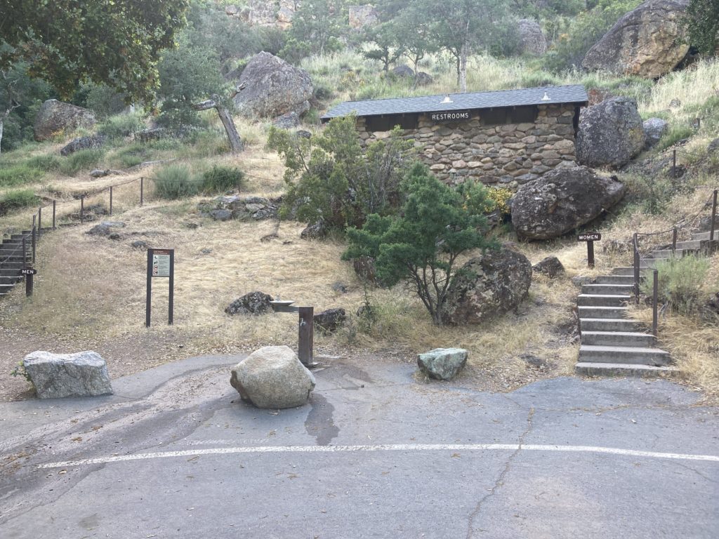
The next stop on the scenic drive is the Bear Gulch Day Use Area. It features bathrooms and picnic tables. If there is no parking in the nearby Moses Springs Parking Area (which is the site of several trail heads), then hikers should park here.
Bear Gulch Nature Center
The Bear Gulch Nature Center features exhibits and a short movie. There are rangers on hand to answer park questions. It is closed until further notice. For more information call 831-389-4486 x4235.

Trails from Moses Spring Parking Area
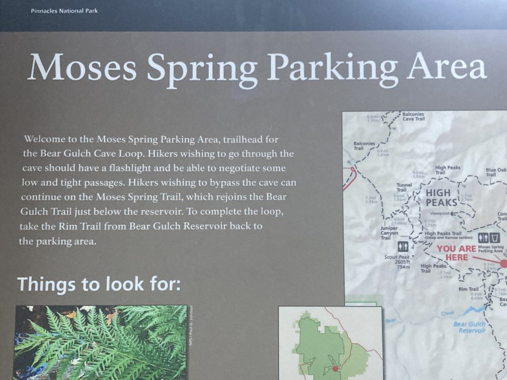
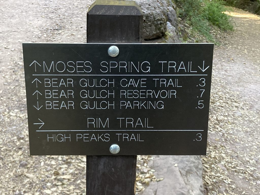
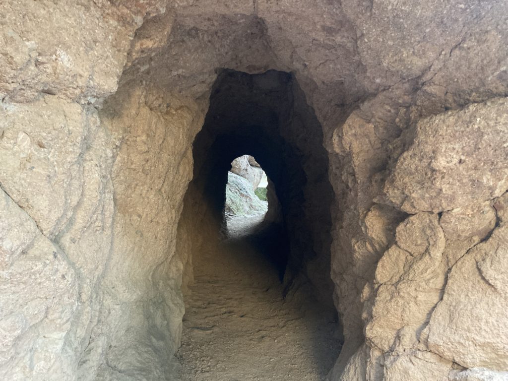
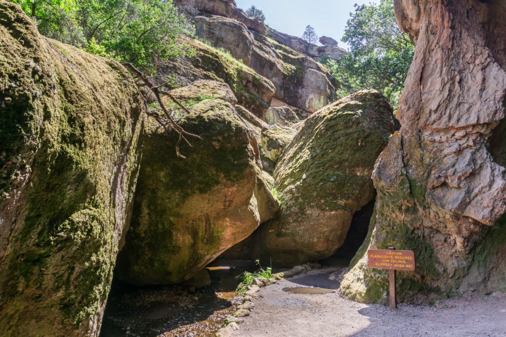
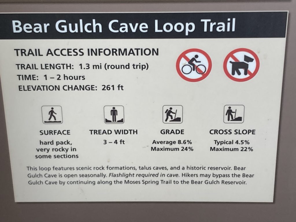
The Moses Spring Parking Area is the trail head for the Bear Gulch Cave loop. Hikers wishing to go through the cave should have a flashlight and be able to negotiate some low and tight passages.
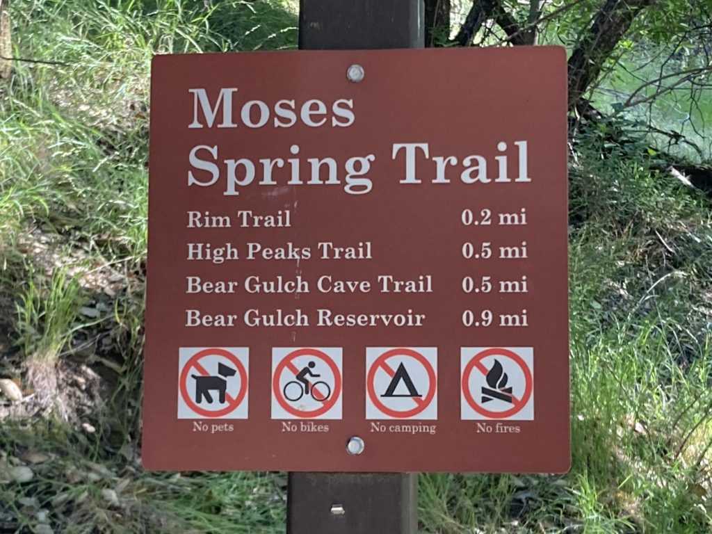
Hikers wishing to bypass the cave can continue on to the Moses Spring Trail, which re-joins the Bear Gulch Trail just below the reservoir. To complete the loop, take the Rim Trail from the Bear Gulch Reservoir back to the parking area.

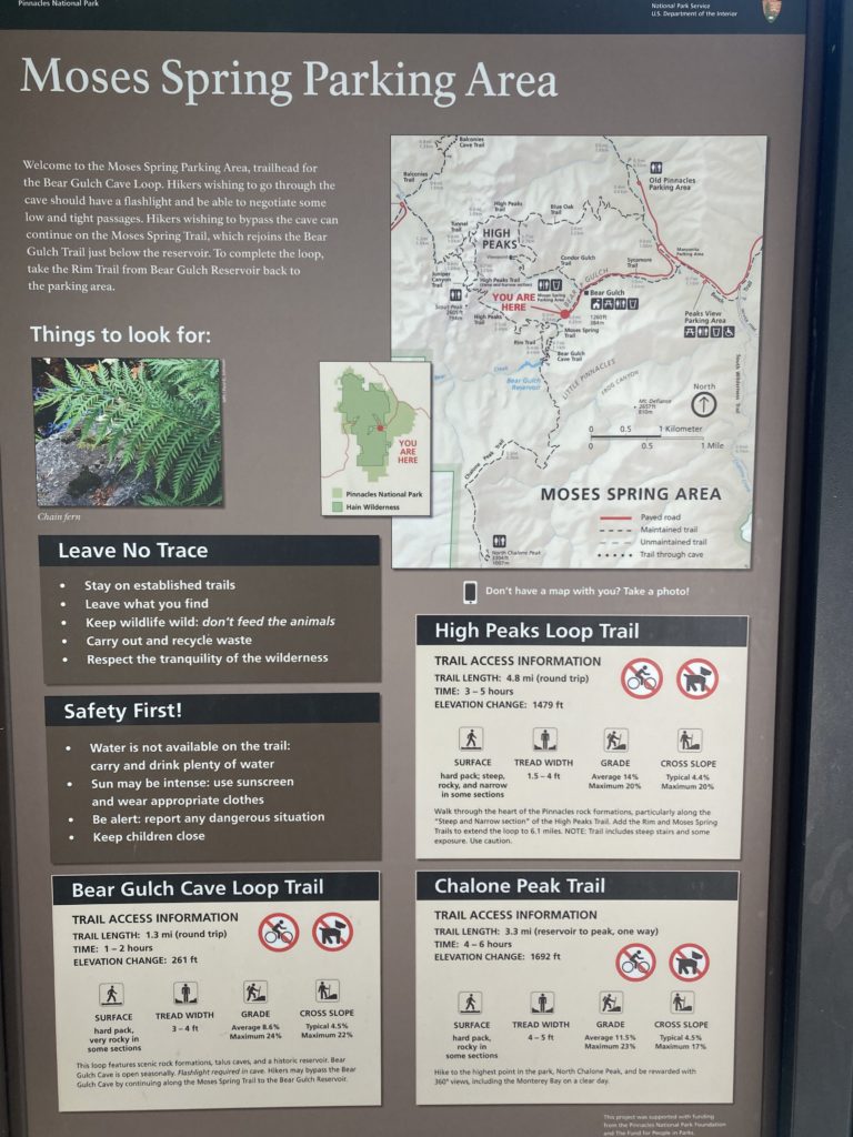
Moses Spring Parking Area to Bear Gulch Reservoir/Rim Trail Loop
- 2.2 miles round trip, 1-1 ½ hours
- Elevation: 500 feet
- Moderate
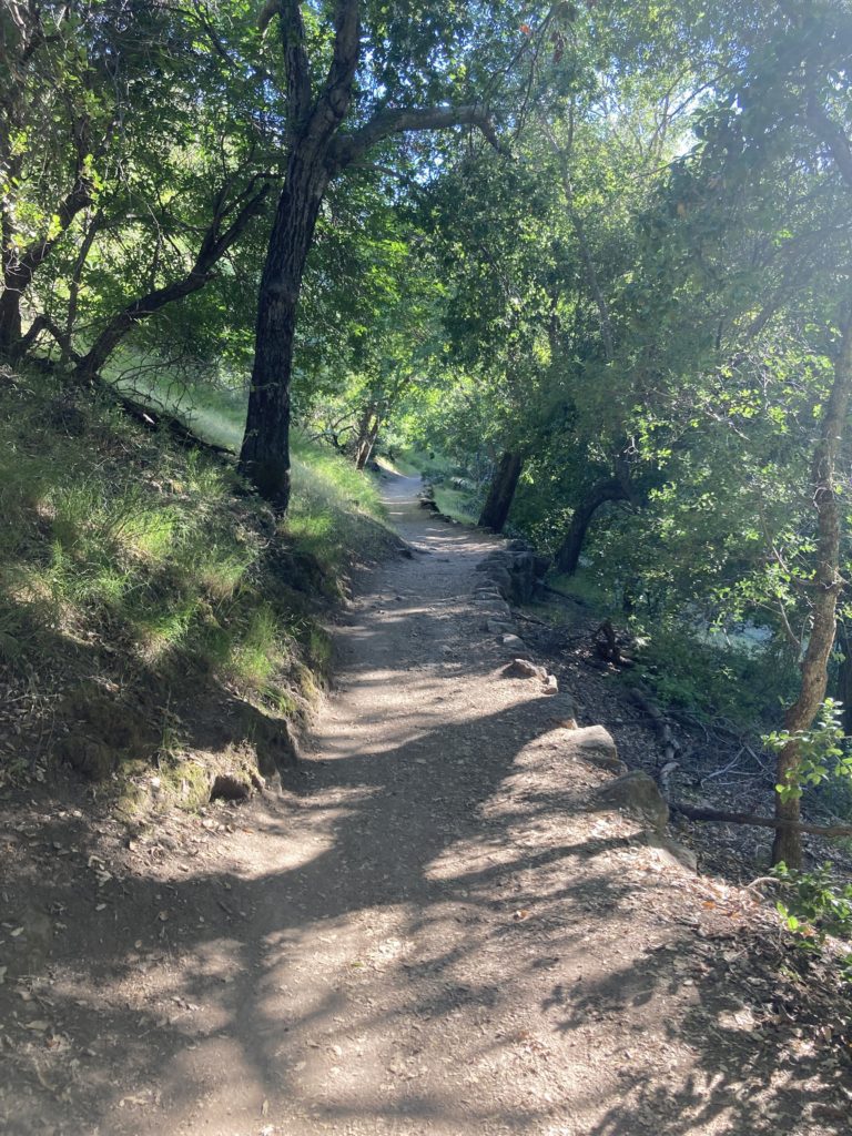
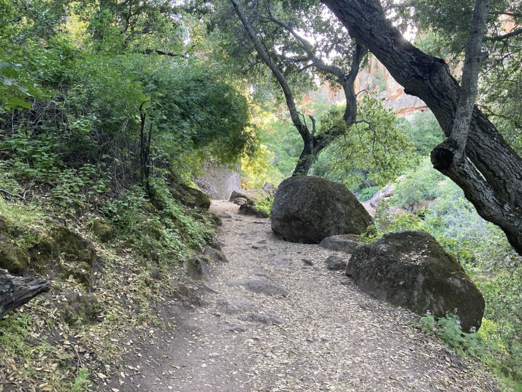
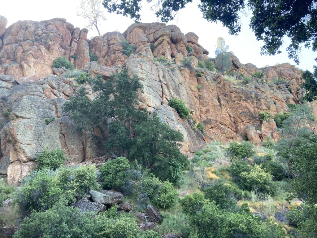
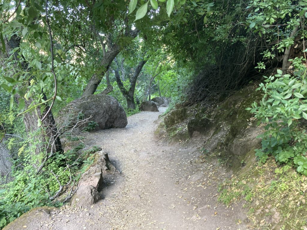
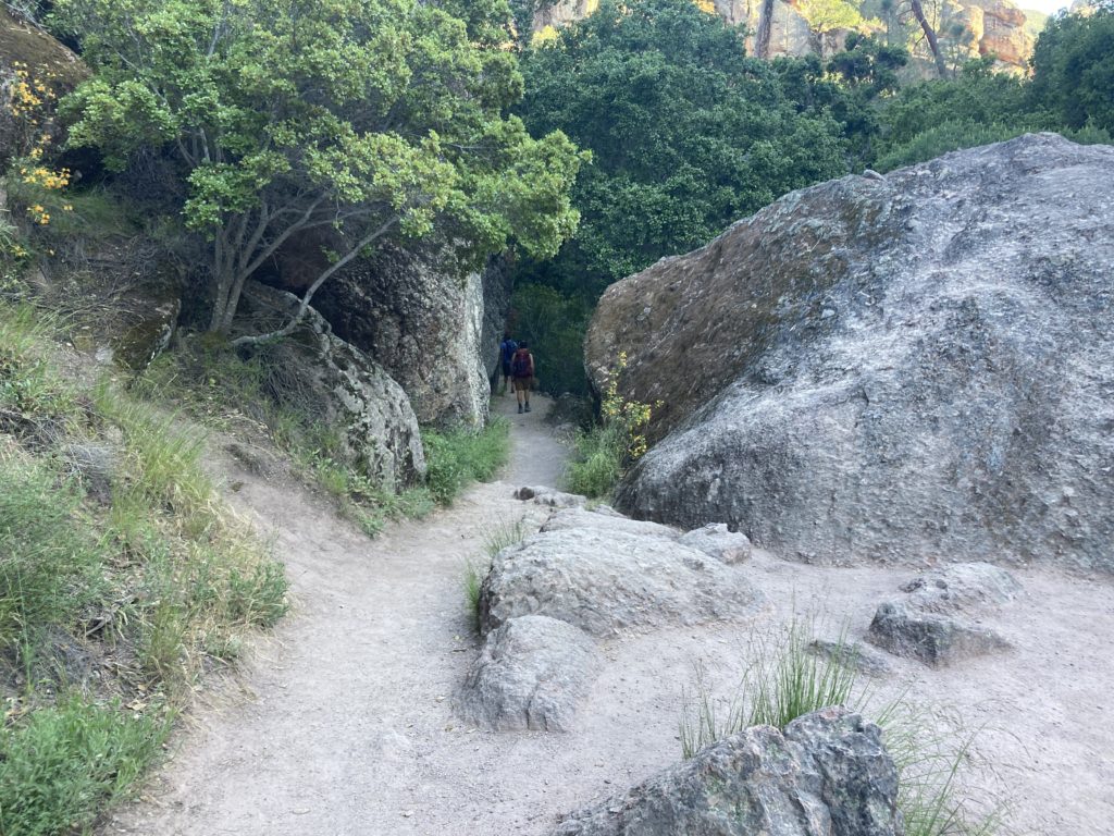
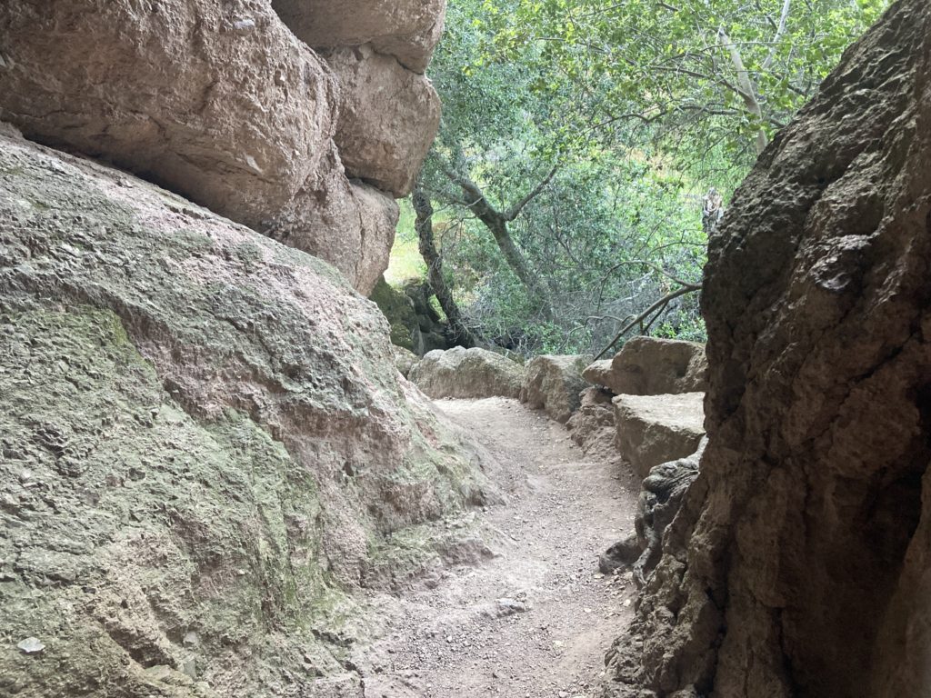
This loop is a good choice for rock formations, talus caves, and the reservoir on a short hike and also a good choice for children. Bear Gulch Cave is open seasonally. A Flashlight is required in the cave.







Bear Gulch Reservoir
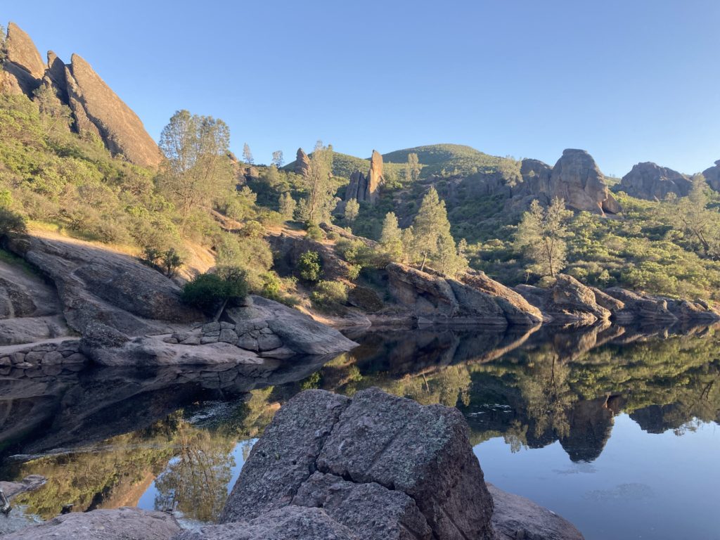
One of the highlights of Pinnacles National Park is the hike to the Bear Gulch Reservoir. It was man made for its aesthetic value.
Like most national park trails, it was completed in 1935 by the Civilian Conservation Corps.
Red Legged Frog
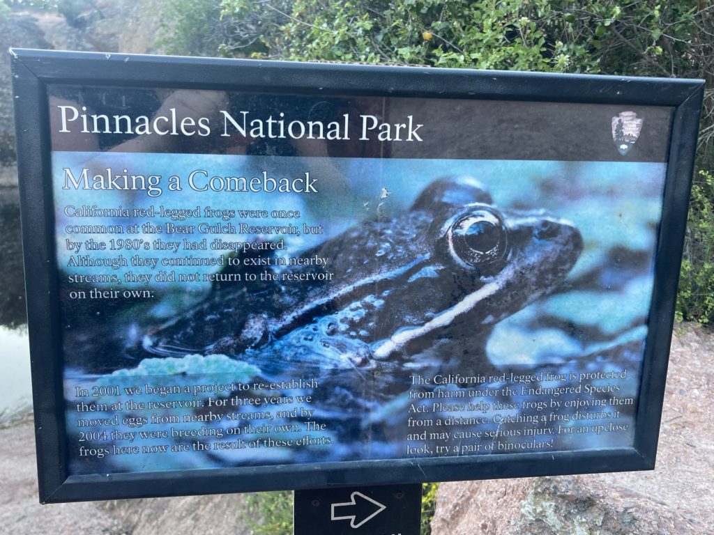
Bear Gulch Reservoir is home to California red legged frogs, a threatened species. The have disappeared from much of their former range.
In response, the National Park Service has re-established a breeding population at Bear Gulf Reservoir. And they have eradicated exotic fish from Park streams.
Moses Spring Parking Area to Bear Gulch Cave
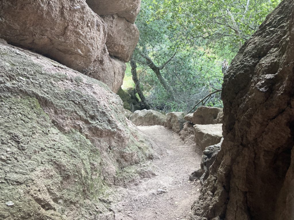
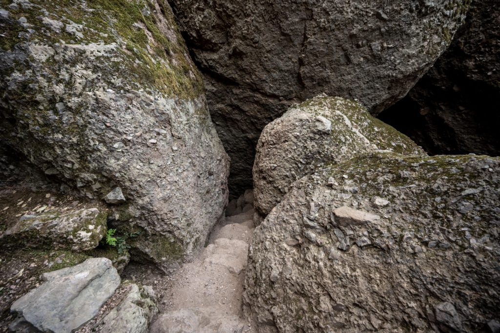
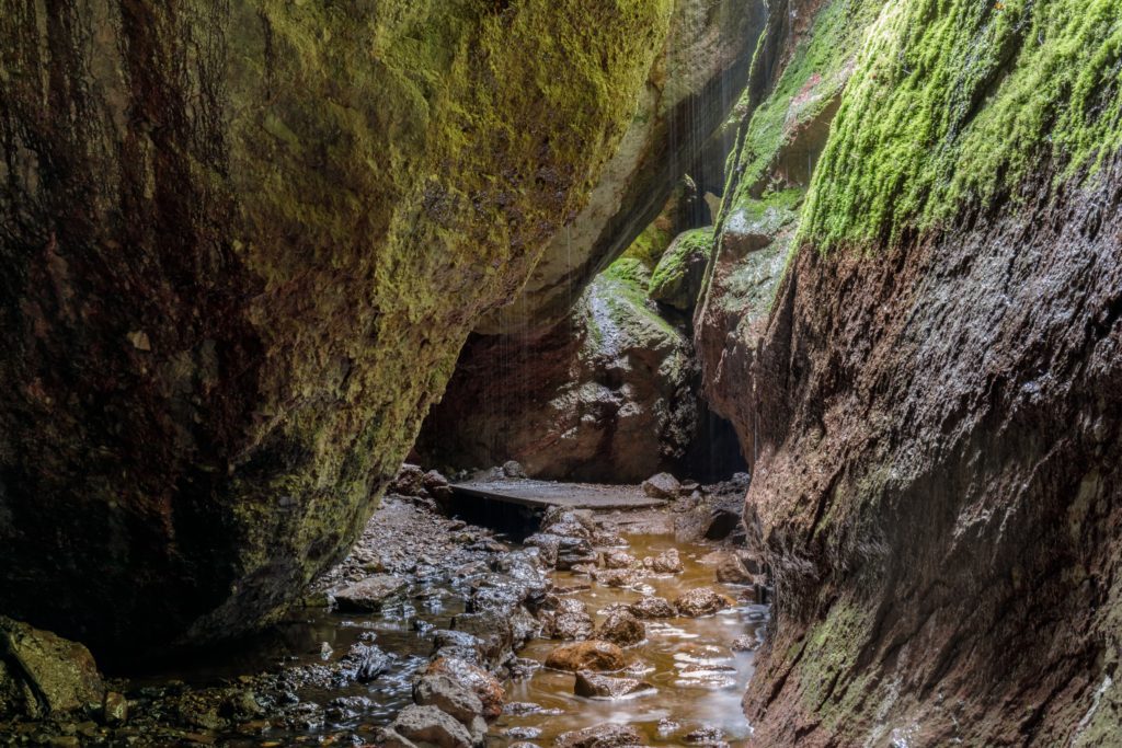
There are 2 caves open to visitors in Pinnacles National Park – Bear Gulch Cave (on the east side) and Balconies Cave (on the west side). They are Talus Caves, which means that they were formed when boulders formed a roof over a narrow canyon.
Some cave areas are narrow and twisting, with low ceilings and uneven footing. Passing through may require scrambling over rocks and wading through water. The caves are dark, so bring a flashlight. There are head lamps for sale at the visitor center.
When is Bear Gulch Cave Open?
Note that the Bear Gulch Cave consists of a main chamber and a small chamber. The small chamber is only open a few weeks a year. However, the main chamber is accessible even when the small chamber is closed.
Travel Tip: Both Bear Gulch Cave and Balconies Cave are sometimes closed due to Flooding, Rockfalls, Vandalism, Townsend’s Big-Eared Bat activity, and other emergencies. Check the Status of the Caves on the NPS website to see if they are open.
Condor Gulch to High Peaks Loop
- 5.3 miles round trip, 3-5 hours
- Elevation: 1,300 feet
- Strenuous
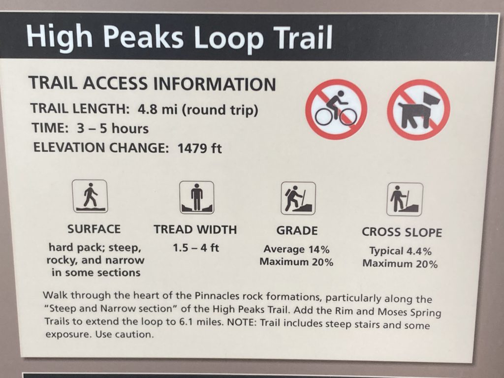
Walk through the heart of the Pinnacles rock formations, particularly along the Steep and Narrow section of the High Peaks trail. Add the Rim and Moses Spring trails to extend the loop to 6.1 miles.

High Peaks to Bear Gulch Loop
- 6.7 miles round trip, 4-5 hours
- Elevation: 1,425 feet
- Strenuous
Climb into the High Peaks and descend along the ridge through meadows of grasses and, in the Spring, wildflowers. Return to the Bear Gulch Day Use Area under the shade of sycamore, buckeye, and Oak trees along the Bench and Bear Gulch trails.
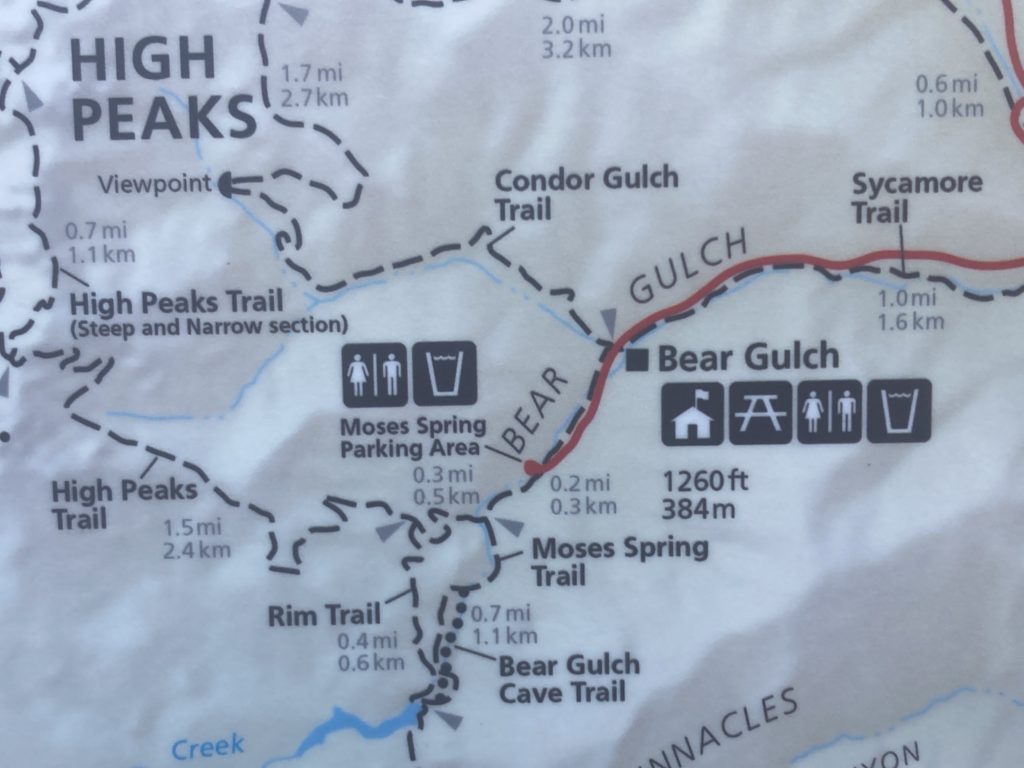
Condor Gulch Trail
- 1.7 miles one way, 1-1 ½ hours
- Elevation: 1,100 feet
- Moderate to Overlook, Strenuous beyond
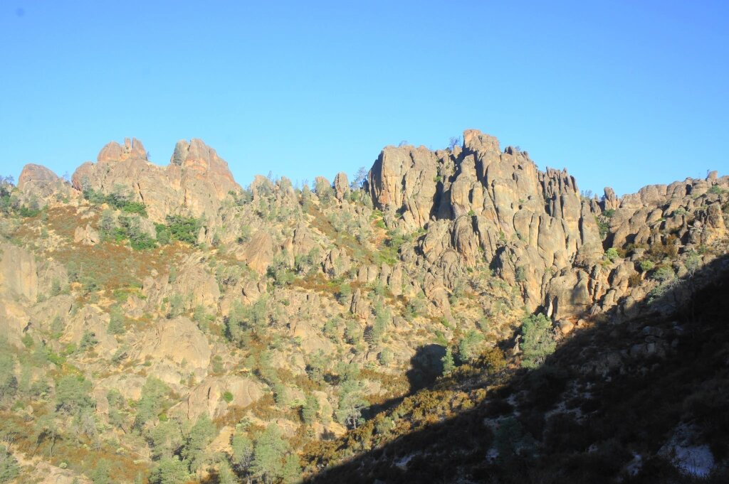
This trail offers spectacular views of the High Peaks, whether you hike just a few minutes or the entire trail. Condor Gulch Overlook is only one mile up the trail.
Chalone Peak Trail
- 9 miles round trip, 3-5 hours
- Elevation: 2,040 feet
- Strenuous
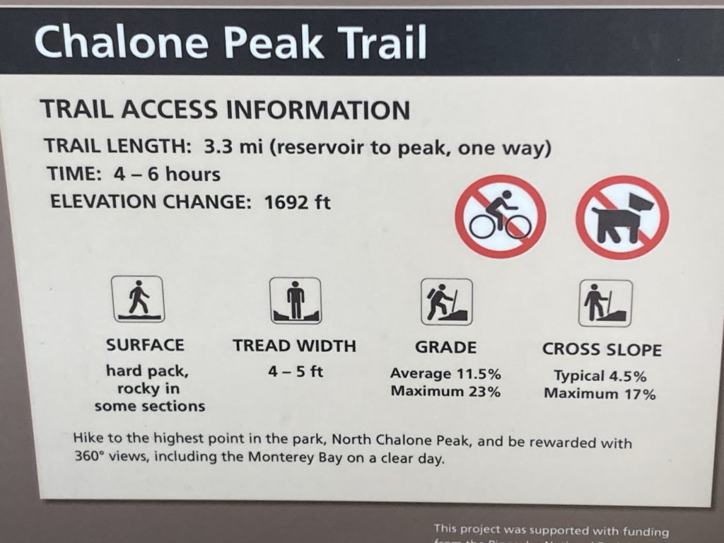
Climb to the highest point in the monument, North Chalone Peak, and be rewarded with views of the surrounding valleys. Continue on an unmaintained trail to South Chalone Peak for a longer hike.
Pinnacles National Park – West Entrance
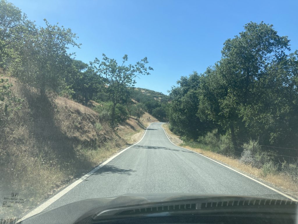
The West Entrance to Pinnacles National Park is a windy road that steadily increases in elevation. RVs are not allowed. Strangely, cars going in both directions share one lane. Sometimes one car has to pull over so the other can pass.
The west side of Pinnacles is available for day use only. Less developed than the east side, it is perfect for hikers seeking solitude.
The West Entrance is open from 7:30am – 8:00pm daily. (You can leave after 8:00pm, but you can not drive in).
West Pinnacles Visitor Contact Station (West Entrance)
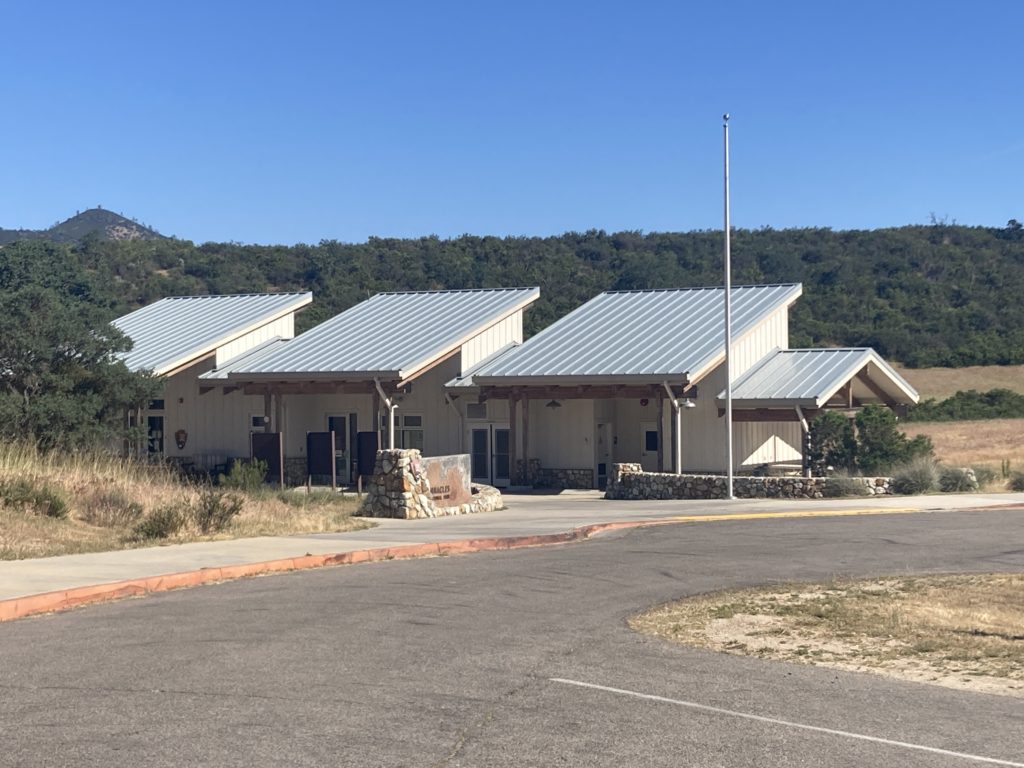
When you enter Pinnacles National Park through the West Entrance, the first building you see is the West Pinnacles Visitor Contact Station.
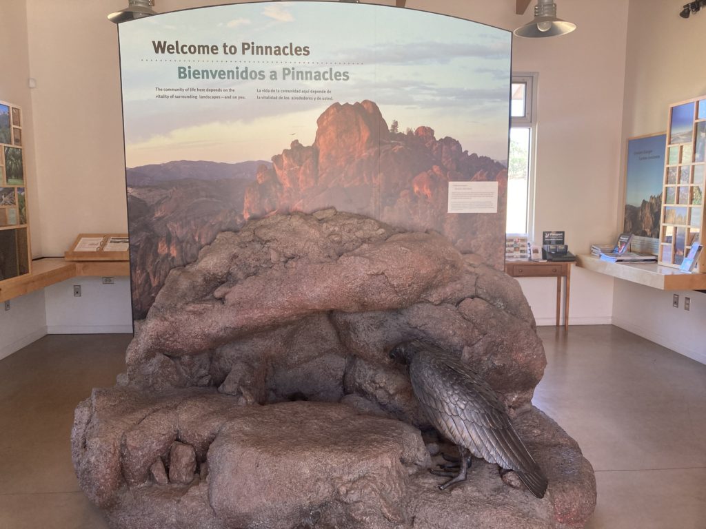
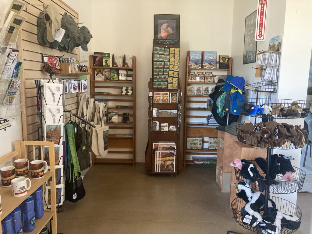
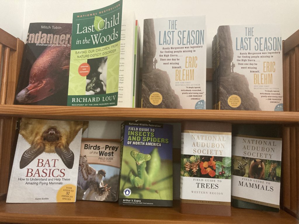
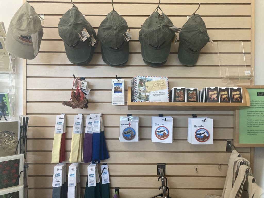
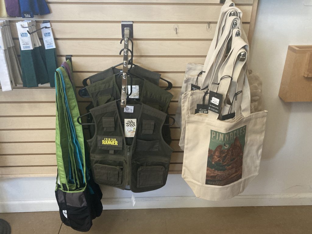
There are restrooms and rangers on hand to answer questions. There is a small bookstore that sells souvenirs such as T-shirts, hats, tote bags, magnets, patches, pins, and books. They also sell safety items such as water and flashlights.
In addition, there is a short movie that is also on the NPS website.
The West Pinnacles Visitor Contact Station is open Mondays, Tuesdays, and Fridays from 9:00am – 3:00pm. It is open on Saturdays and Sundays from 9:00am – 4:00pm. It is closed on Wednesdays and Thursdays. Call 831-389-4485 for more information. And check out the Pinnacles National Park Online Store.
Trails from West Pinnacles Contact Station
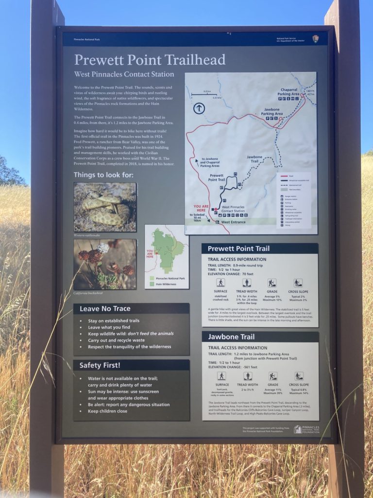
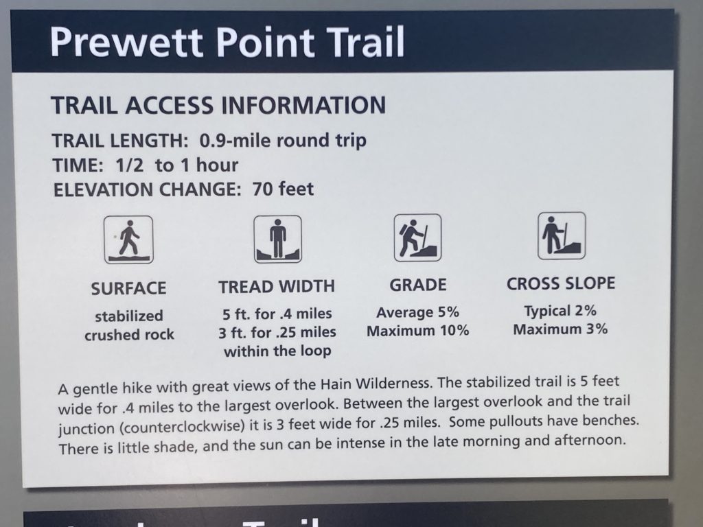
Prewett Point Trail
- 0.9 miles round trip, ½-1 hour
- Elevation: 70 feet
- Easy
A gently hike with great views of the Hain Wilderness. The stabilized trail is 5 feet wide for 0.4 miles to the largest overlook. Between the largest overlook and the trail junction (counterclockwise) it is 3 feet wide for 0.25 miles. There is little shade, and the sun can be intense in the late morning and afternoon.
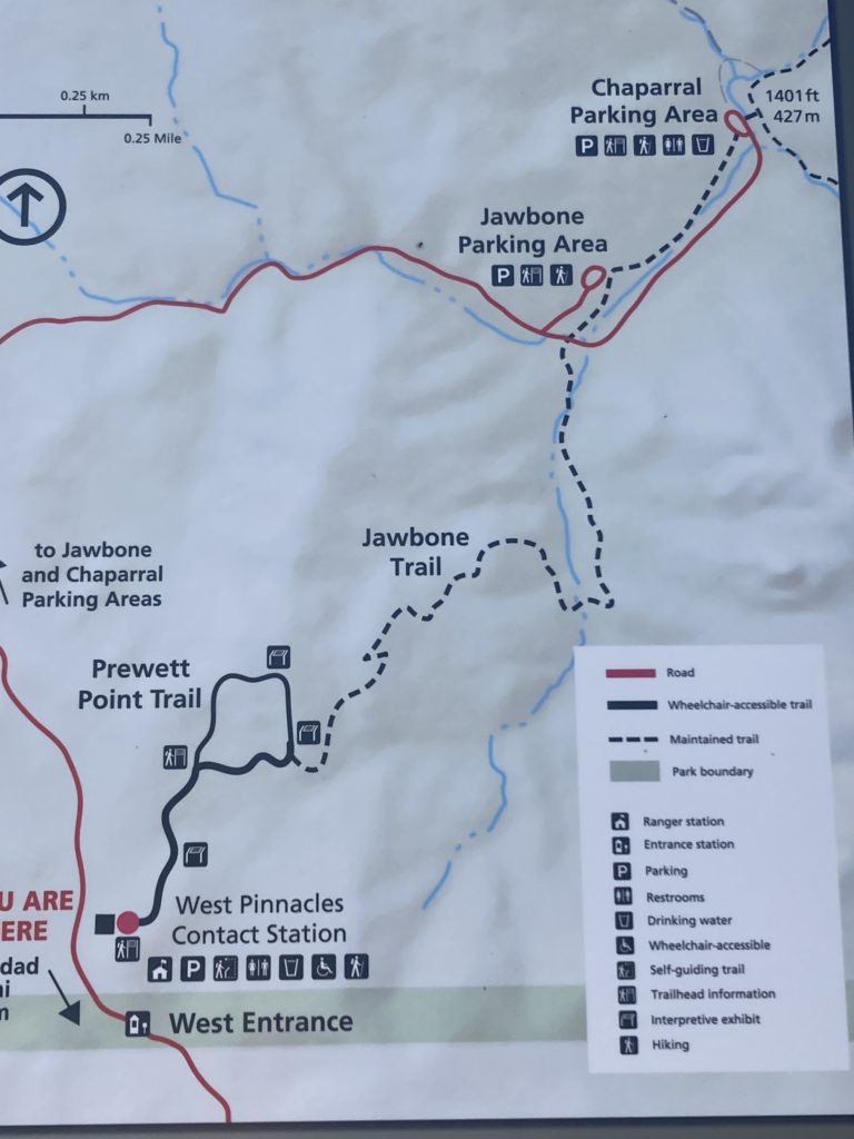
When you get to the loop intersection, the trail continues to the right. On your right side, you will pass the trailhead of the Jawbone Trail.
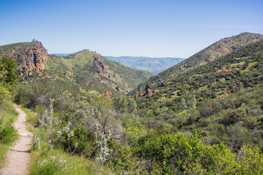
Keep going and you will have expansive vistas into the Hain Wilderness, which is the heart of the pinnacles.
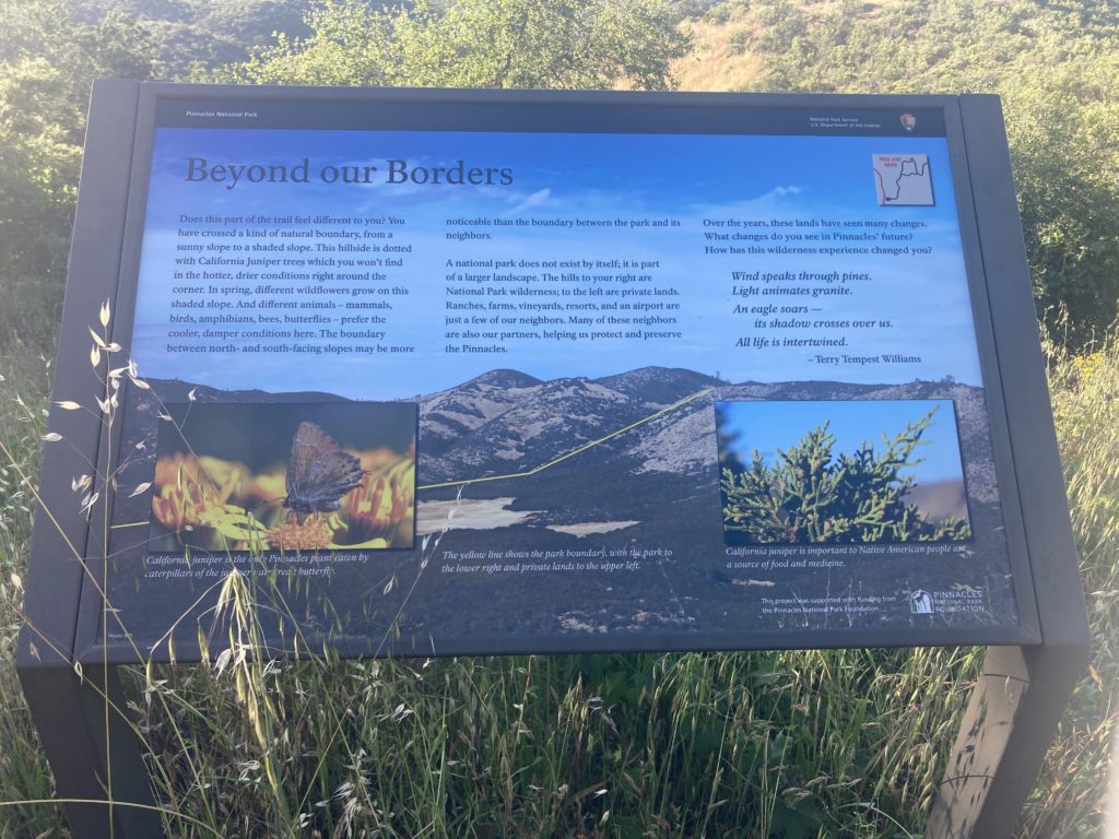
Keep going to the cooler north facing slopes, dotted with juniper trees.






Jawbone Trail
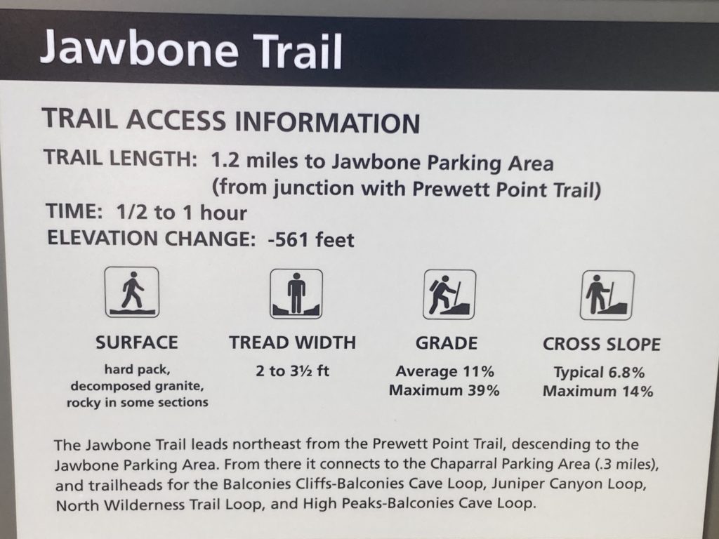
- 1.2 miles one way, ½-1 hour
- Elevation: -560 feet
- Easy to Moderate
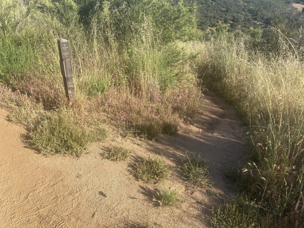
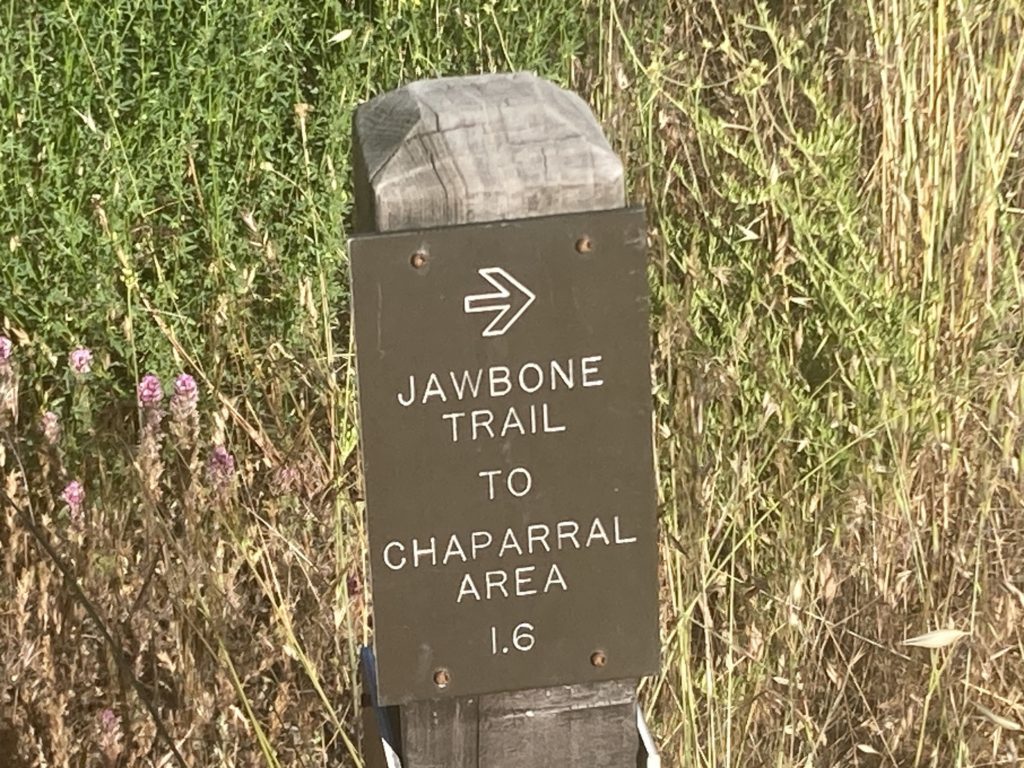
The Jawbone Trail leads northeast from the Prewett Point Trail, descending to the Jawbone Parking Area. From there it connects to the Chaparral Parking Area (0.3 miles).
Balconies Cave
There are 2 caves open to visitors in Pinnacles National Park – Bear Gulch Cave and Balconies Cave. They are Talus Caves, which means that they were formed when boulders formed a roof over a narrow canyon.
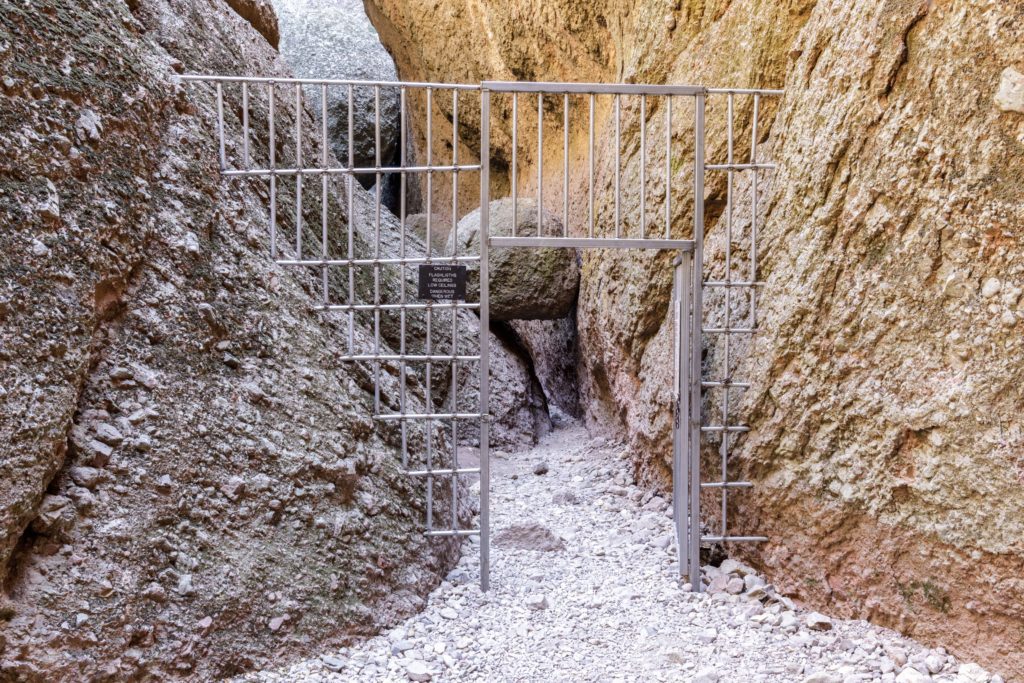
Some cave areas are narrow and twisting, with low ceilings and uneven footing. Passing through may require scrambling over rocks and wading through water. The caves are dark; so bring a flashlight.
Bring a flashlight to explore balconies cave. Explore the narrow passages of east of balconies Katie. It is a rare Telus cave. Respect the local bad, so need to keep my staying on the channel and talking.
Travel Tip: Both Bear Gulch Cave and Balconies Cave are sometimes closed due to Flooding, Rockfalls, Vandalism, Townsend’s Big-Eared Bat activity, and other emergencies. Check the Status of the Caves on the NPS website to see if they are open.
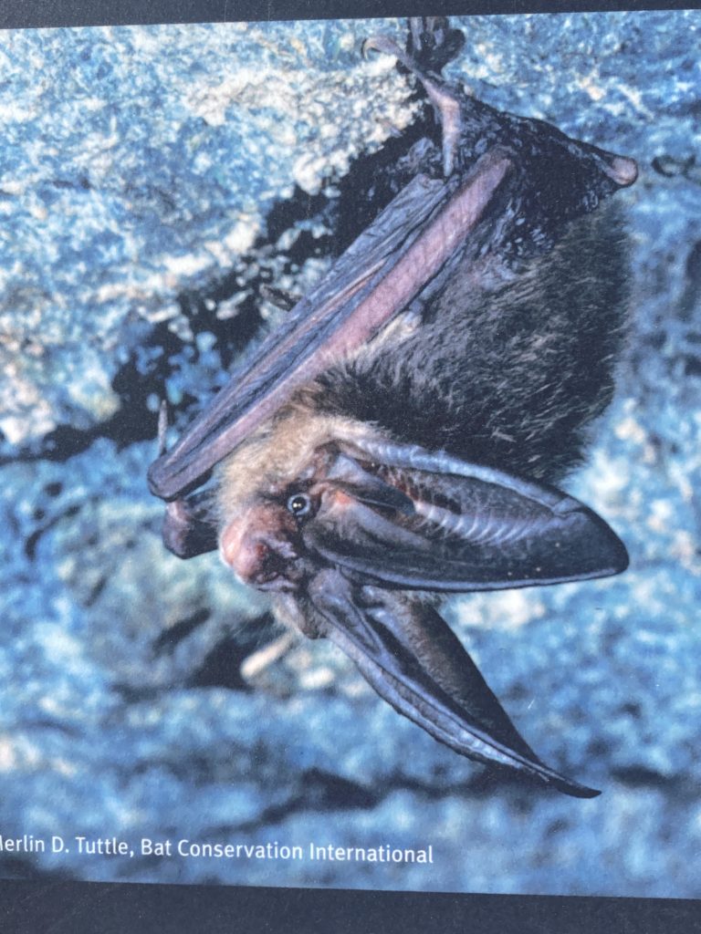
Bats in Balconies Cave
As scary as it sounds, while humans are exploring Balconies Cave during daylight hours, the bats are asleep in tucked away areas.
As day turns to night, the bats awaken and leave the cave in search of insects to feast on. They can eat half of their body weight in insects every night; which helps keep the insect population in check. As you step into their home, please keep your voice down, so as not to disturb their slumber.
Jawbone Parking Area (West Entrance)
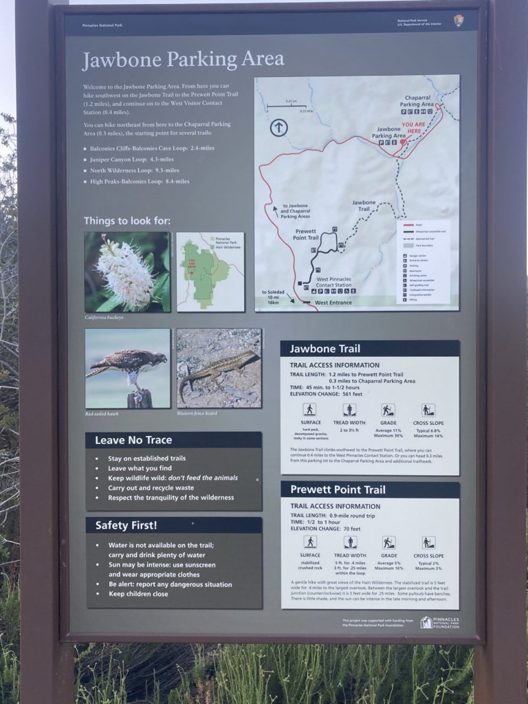
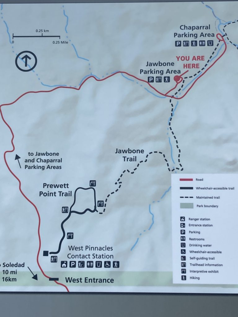
From the Jawbone Parking Area, you can hike on the Jawbone Trail to the Prewett Point Trail (1.2 mile)s and then continue onto the West Visitor Contact section (.4 miles). Or you can hike northeast to the Chaparral Parking Area (.3 miles), which is a starting point for several trails.

Chaparral Parking Area (West Entrance)
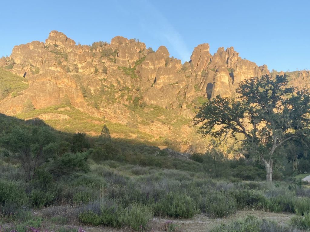
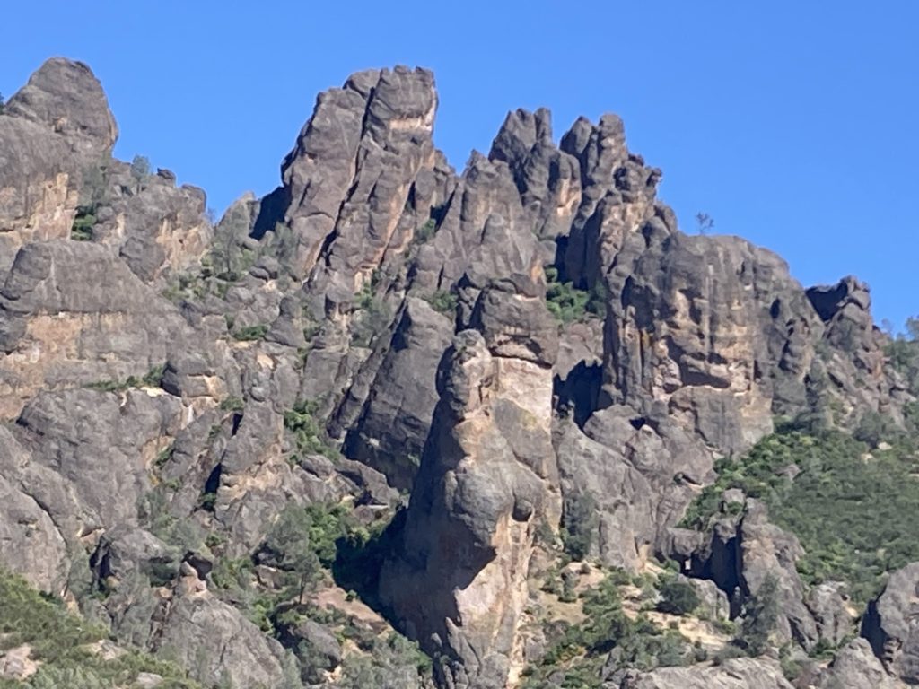
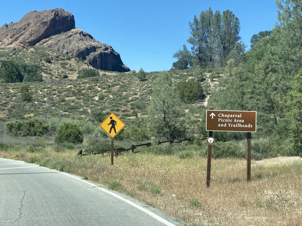
The Chaparral Parking Area is located at the very end of the scenic drive. There are beautiful views of the Pinnacles from the parking lot. So it is the best place to view the Pinnalces for non-hikers.
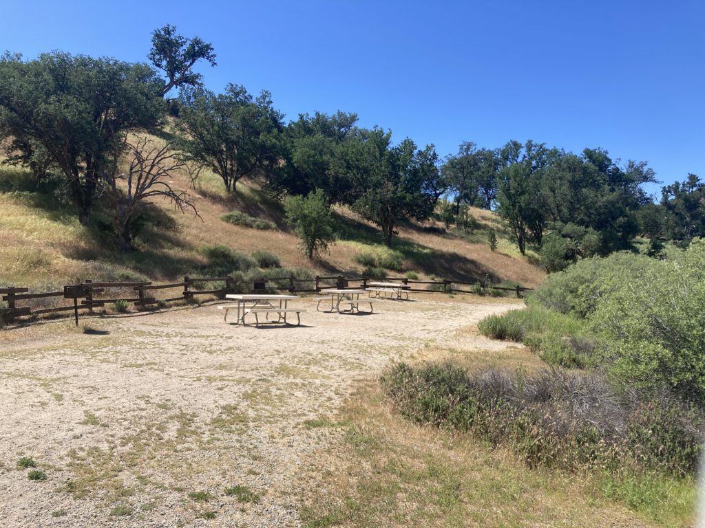
Chaparral is the site of several trailheads. There are several picnic tables, so it is a great place to have lunch while admiring the 23 million year old pinnacles.



Trails from Chaparral Parking Area
- Balconies Cliffs – Balconies Cave Loop 2.4 miles
- Juniper Canyon Loop 4.3 miles
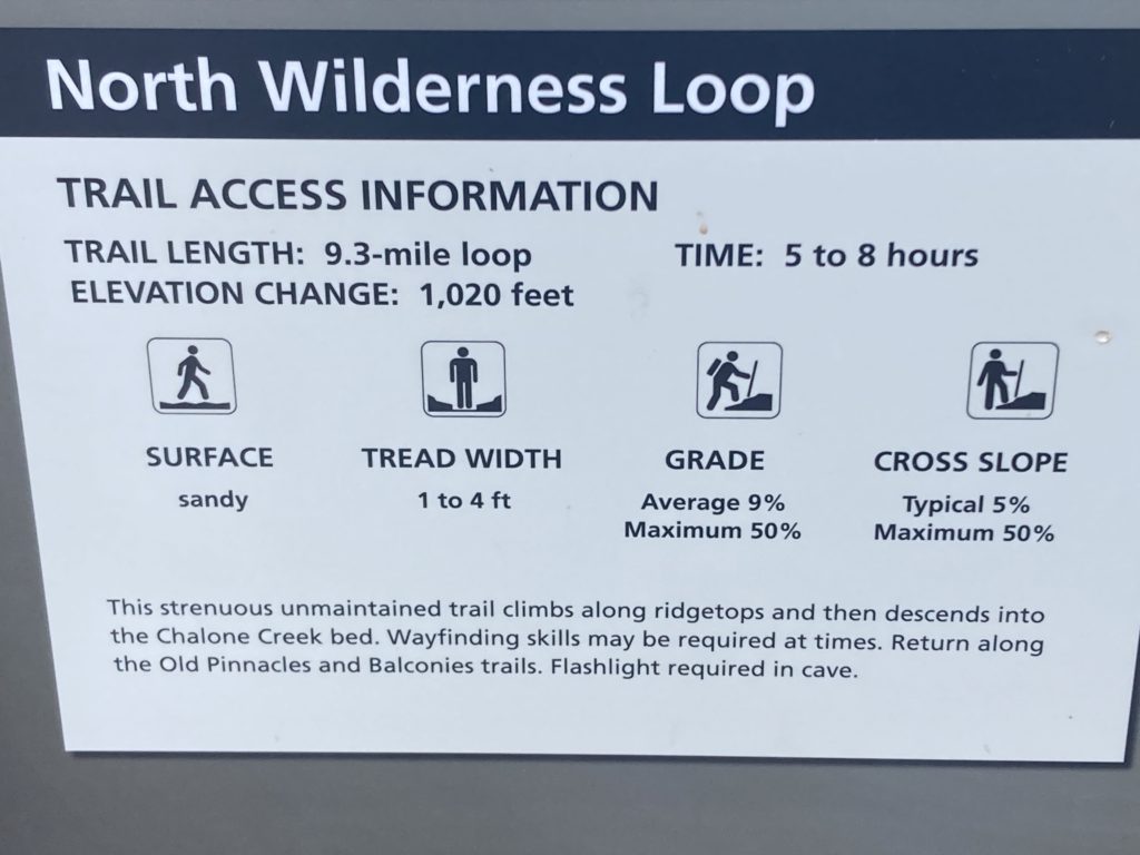
- North Wilderness Loop 9.3 miles
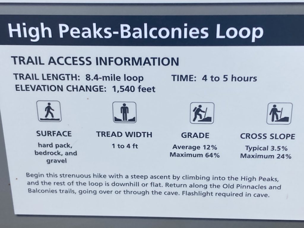
- High Peaks – Balconies Loop 8.4 miles

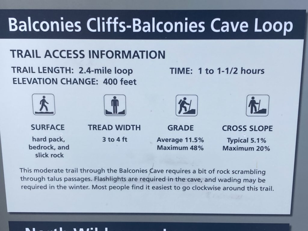
Balconies Cliffs-Balconies Cave Loop
- 2.4 miles round trip, 1-1 ½ hours
- Elevation: 100 feet
- Easy to Moderate
This trail crosses up and over the Balconies Cave, then descends back down to the Old Pinnacles trail, which leads back through the cave. Scramble through the talus passages of the Balconies Cave. Wading may be necessary in the winter when precipitation creates flooding. Flashlight required in cave.
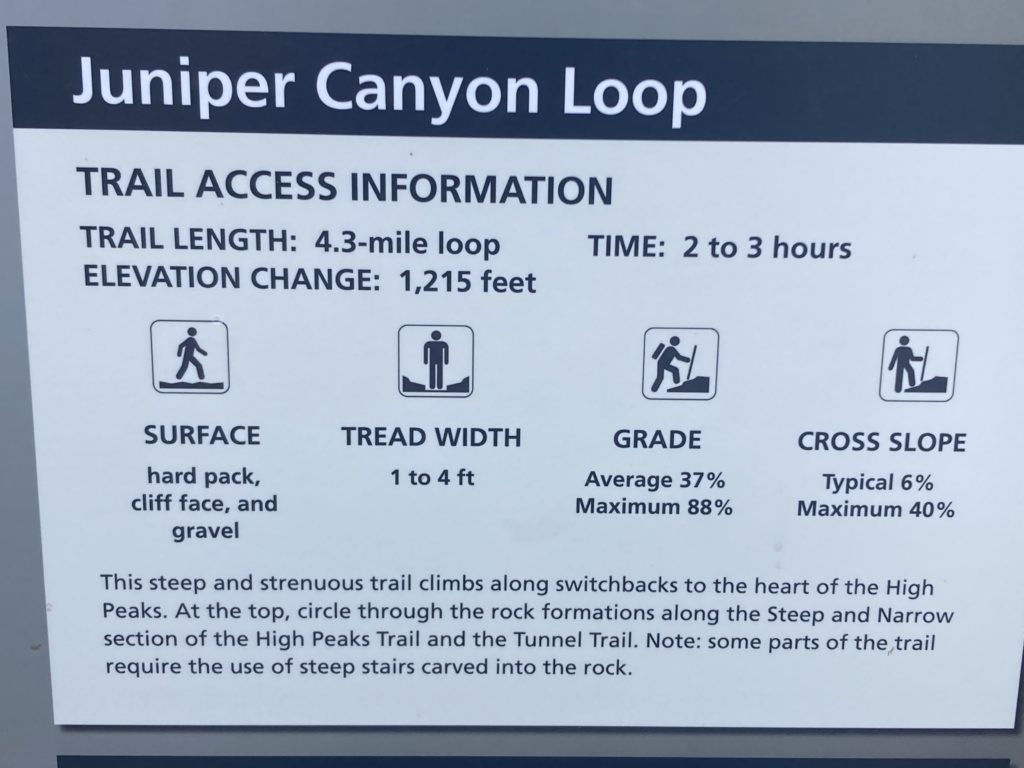
Juniper Canyon Loop
- 4.3 miles round trip, 2-3 hours
- Elevation: 1,215 feet
- Strenuous
This steep trail climbs along switchbacks to the heart of the High Peaks. At the top, circle through the rock formations along the Steep and Narrow section of the High Peaks Trail and begin the descent down on the Tunnel Trail.
North Wilderness Trail Loop
- 9.3 miles round trip, 5-8 hours
- Elevation: 1,020
- Strenuous
This unmaintained trail climbs along the ridge tops and then descends into the Chalone Creek bed, where it is marked by rock cairns. Return along the Old Pinnacles and Balconies Trail.
High Peaks to Balconies Cave Loop
- 8.4 miles round trip, 4-5 hours
- Elevation: 1,540 feet
- Strenuous
Begin by climbing into the High Peaks, and the rest of the loop is downhill or flat. Return along the Old Pinnacles and Balconies trails, going over or through the cave. Flashlight required in the cave.
Hotels near Pinnacles National Park
The closest hotel to Pinnacles National Park is the Motel 6 in Soledad. It is 10 miles from the West Entrance. The reviews are mixed.
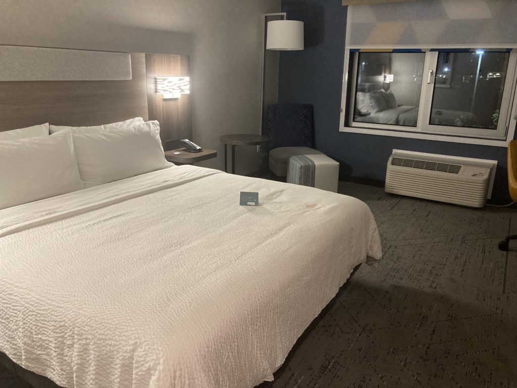
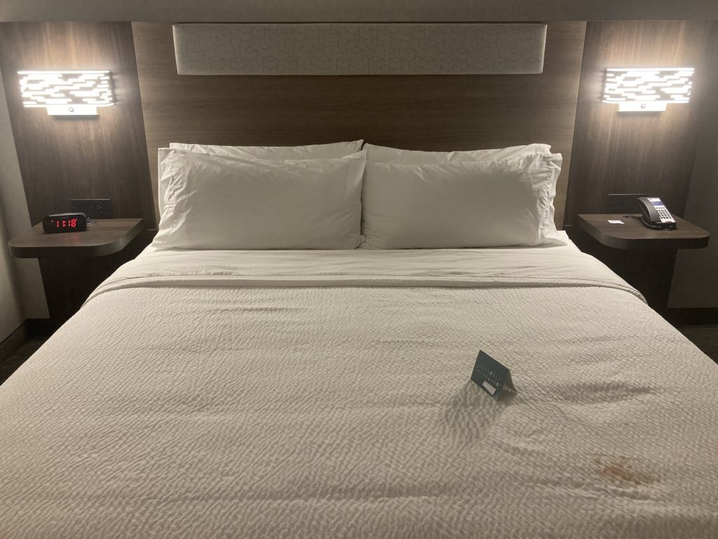
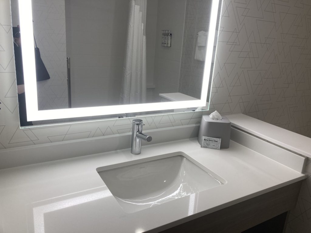
I stayed at the Holiday Inn Express and Suites in Hollister. It is 30 miles from the East Entrance. Only a few months old, it offers both Free Wi-fi and free breakfast. It gets good reviews
Bar SZ Ranch is a working ranch in Paicines. It is only 7 miles from Pinnacles National Park..

https://www.ihg.com/holidayinnexpress/hotels/us/en/hollister/hlisr/hoteldetail https://www.ihg.com/holidayinnexpress/hotels/us/en/hollister/hlisr/hoteldetail https://www.ihg.com/holidayinnexpress/hotels/us/en/hollister/hlisr/hoteldetail https://www.ihg.com/holidayinnexpress/hotels/us/en/hollister/hlisr/hoteldetail https://www.ihg.com/holidayinnexpress/hotels/us/en/hollister/hlisr/hoteldetail Motel 6 Soledad Motel 6 Soledad




Dining Options
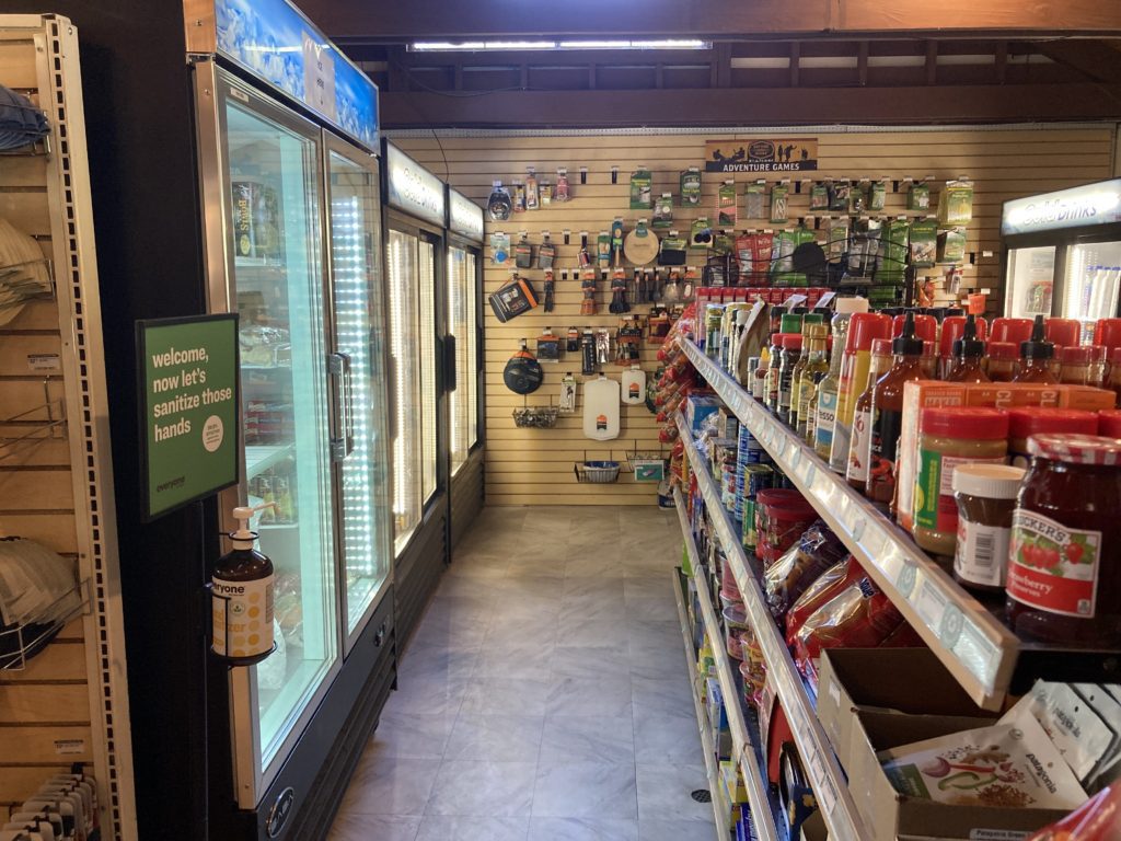
There are no restaurants inside Pinnacles National Park. The Pinnacles Campground Store sells snacks and beverages, including ice cream treats. They sell frozen TV dinners and have a microwave to heat them in.
Wildlife at Pinnacles National Park
Over 48 mammal species call Pinnacles National Park home.
Some animals are seen more frequently by visitors and staff regularly because they are either easy to see or are charismatic. This includes Black Tailed Deer, Bobcats, Gray Fox, Raccoons, Jackrabbits, Brush Rabbits, Ground squirrels, Chipmunks, and several kinds of Bats.
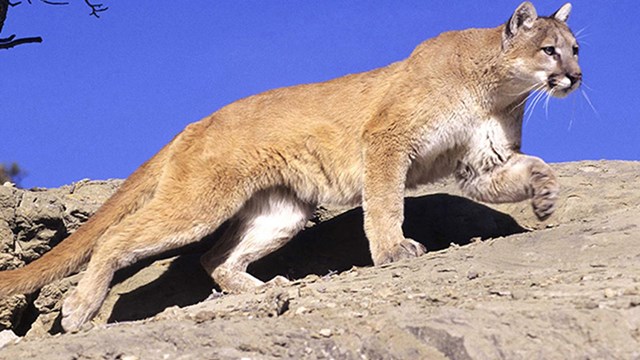
On the other hand, there are animals that inhabit the park that are rarely seen. This includes Badgers, Coyotes, Mountain Lions, and a wide variety of rodents.
There are even wild pigs! However, the pigs are bad for the ecosystem. They turn up soil and eat acorns, bulbs, and wildlife. Therefore, Pinnacles maintains over 30 miles of pig proof fences to keep them out of the park.
Birds
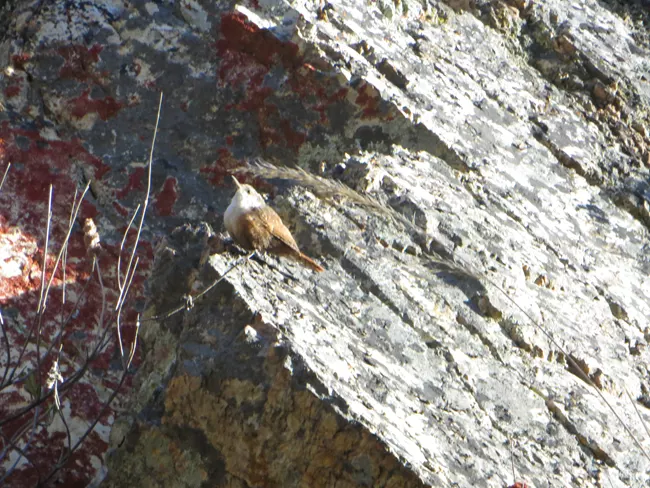
Over 160 Bird Species call Pinnacles home. Some stay year round; while others migrate each year.
The reason there are so many species of birds at Pinnacle is because of the wide variety of available nesting habitat. For example, Prairie Falcons nest in unusually high concentrations on Pinnacles cliffs. Other birds nest in cliffs, trees, shrubs, grass, or on the ground.
California Condors
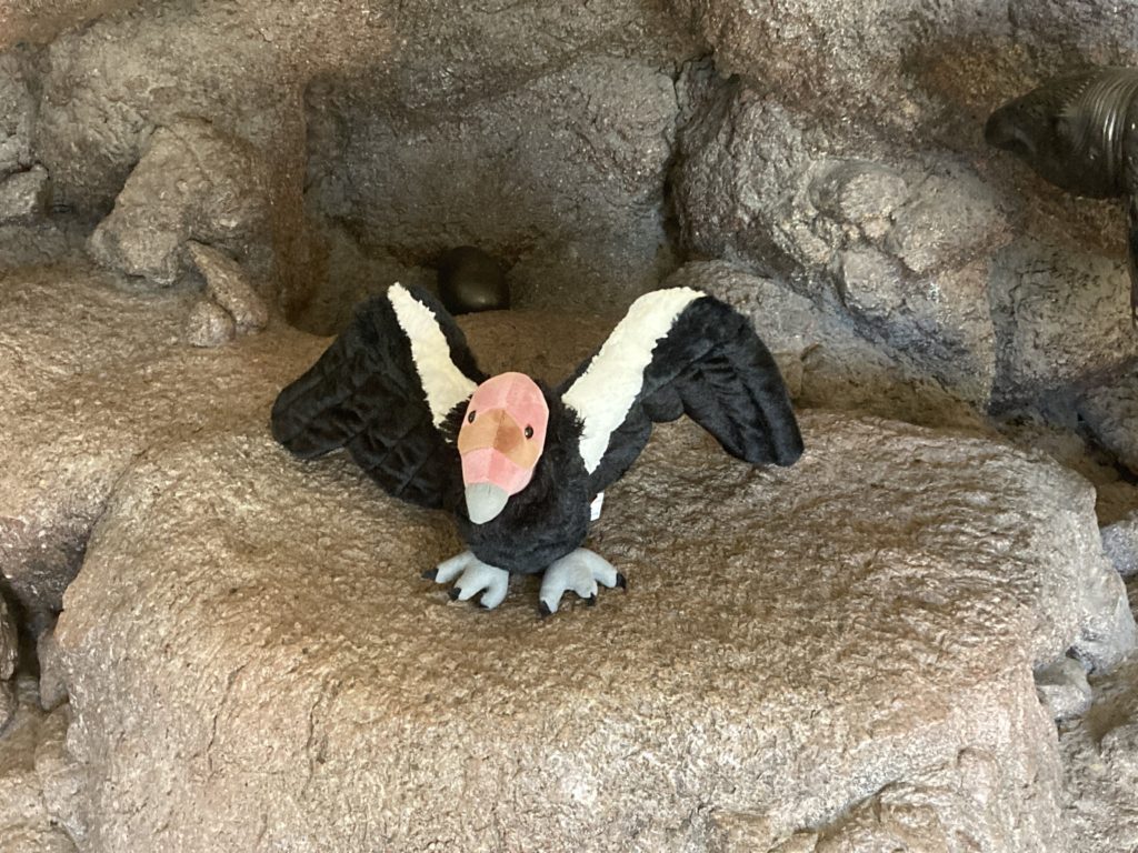
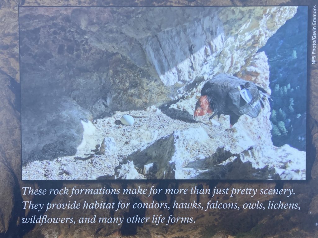
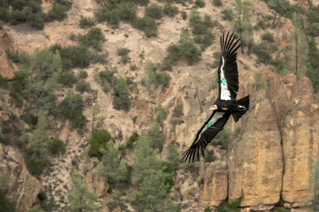
California Condors are one of the most endangered species on the planet. In fact, the 1980s they were almost extinct. One of their habitats is the rock towers, cliffs, and spires of Pinnacles National Park.
(They also live in the western coastal mountains of the United States and Mexico, and the northern desert mountains of Arizona including the Grand Canyon).
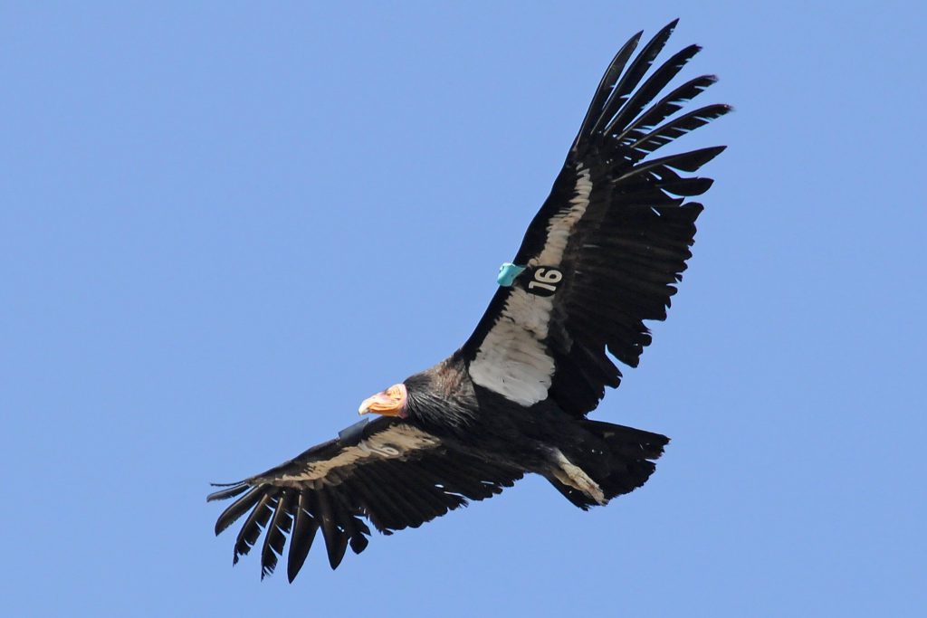
With a wingspan of almost 10-feet, Condors are one of the largest birds in the world. (Only the Great Albatrosses and 2 Pelican species are larger).
Condors are scavengers that feed on carcasses, including rodents, deer, cows, and marine mammals. They cover a huge range in their search for carrion. They can glide from Pinnacles National Park to the Big Sur coast in about an hour.
Report Condor Sightings in California
Think you saw a Condor? When seen from below in flight, adult condors have white triangular patches on the leading edge of their wings.
To report Condor sightings in central California, call the Pinnacles Condor Program at 831-389-4486 x4276. This includes Alameda, Santa Clara, Stanislaus, Merced, San Benito, Monterey, Fresno, San Luis Obispo, and nearby counties.
To report Condor sightings in southern California (Santa Barbara, Ventura, Kern, Los Angeles, Tulare, Inyo, and nearby counties), call the Ventana Wildlife Society at 831-455-9514.
Wild Flowers at Pinnacles National Park
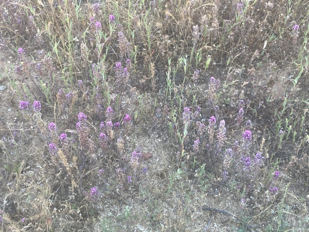
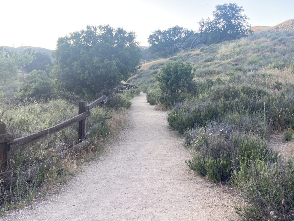
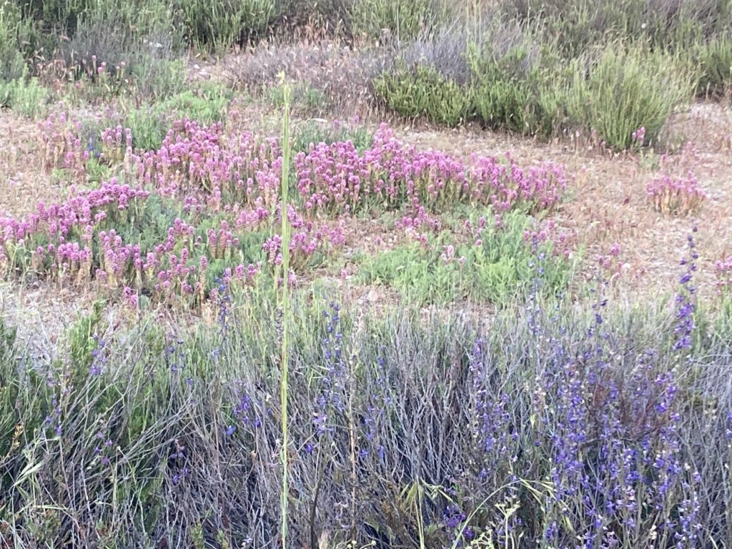
Pinnacles National Park is known for its Wildflowers. There are over 100 species. From mid-February to early June there are flowers everywhere – on the side of the road, trails, on boulders, etc. I was there in May and saw yellow, orange, pink, fuchsia, and purple flowers.
The flowers are pollinated by over 400 species of bees that call Pinnacles home.

History of Pinnacles National Park
The Chalon and Mutsun Indians have lived on the land that is now Pinnacle National Park for millennia. Then the 1700s Spanish missionaries arrived in the area. They built the nearby Mission at San Juan Bautista.
Beginning in the 1850s, homesteaders began raising cattle and sheep, growing dryland crops, and mining in the area. Dry farming means without irrigation. They produced mostly low yielding cereal, crops, and hay.
Then in an effort to preserve the land, President Theodore Roosevelt created Pinnacles National Monument in 1908.

Native Americans at Pinnacles National Park
For thousands of years, Chalon, Mutsun, Chapana, and Pagsin lived in the area that is now Pinnacles National Park.
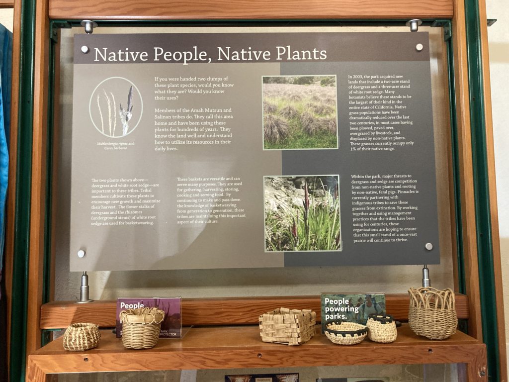
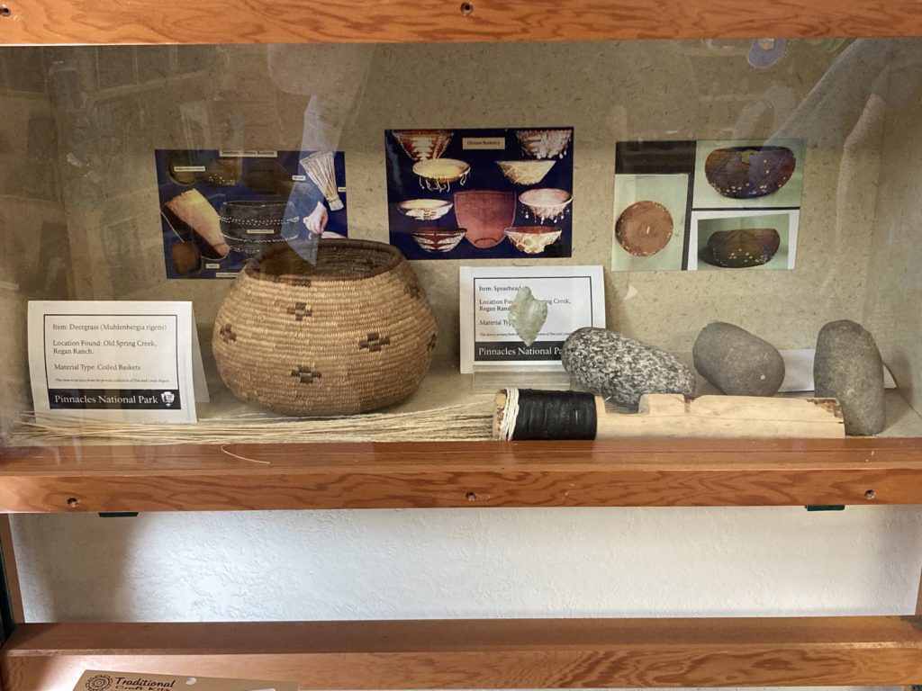
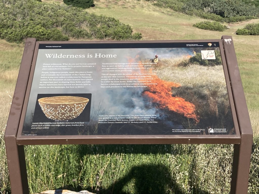
The native people had tremendous resources to sustain their families. They foraged oak acorns, forbes, bulbs, pine nuts, and grass seeds. They sometimes ground them into flour with stone mortars. In addition, they hunted wild birds, fish, and game.
Tribal people harvested ferns, sedges, pine roots, and even poison oak to weave into intricate baskets. Baskets were used for gathering, winnowing, storage, cradles, and transport. Plant materials were also used for clothing, netting, weapons, fuel, houses, and medicines.